Regional overview
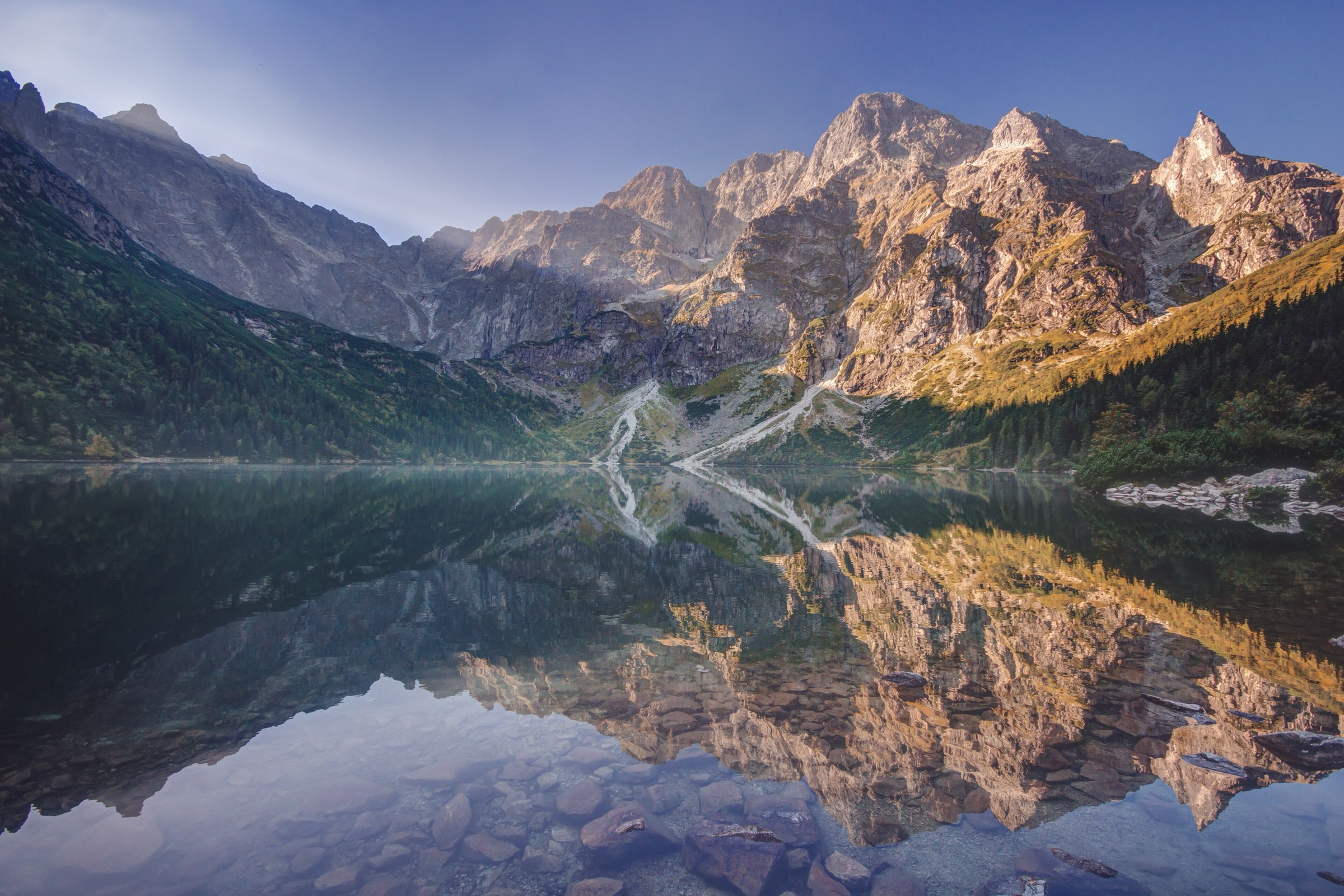
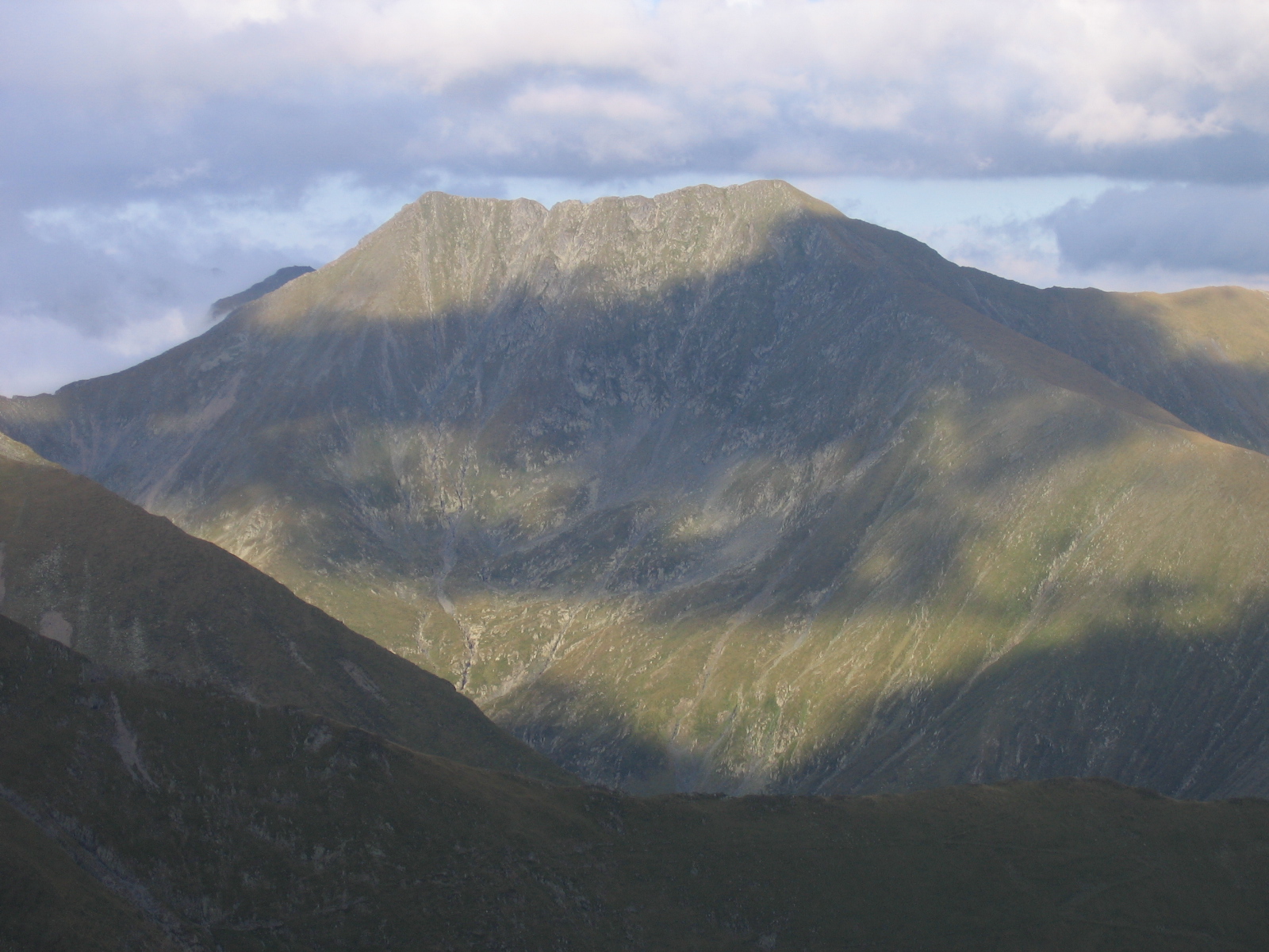
The Romanian Southern and Western Carpathians combine high alpine ridges, limestone gorges, glacial lake basins, forested valleys and karst plateaux. Făgăraș contains Romania’s highest mountain terrain, with Moldoveanu Peak reaching 2,544 m.
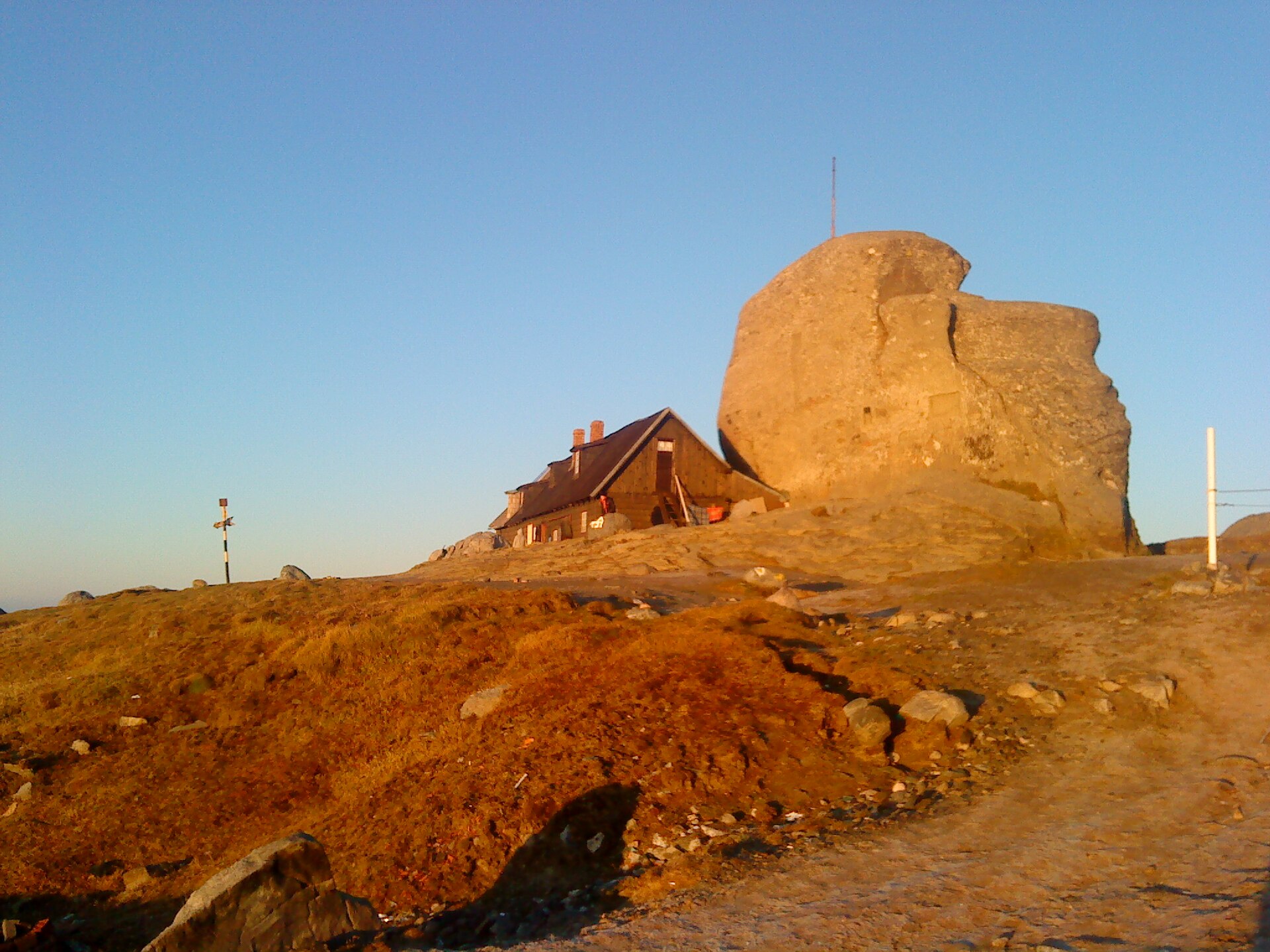
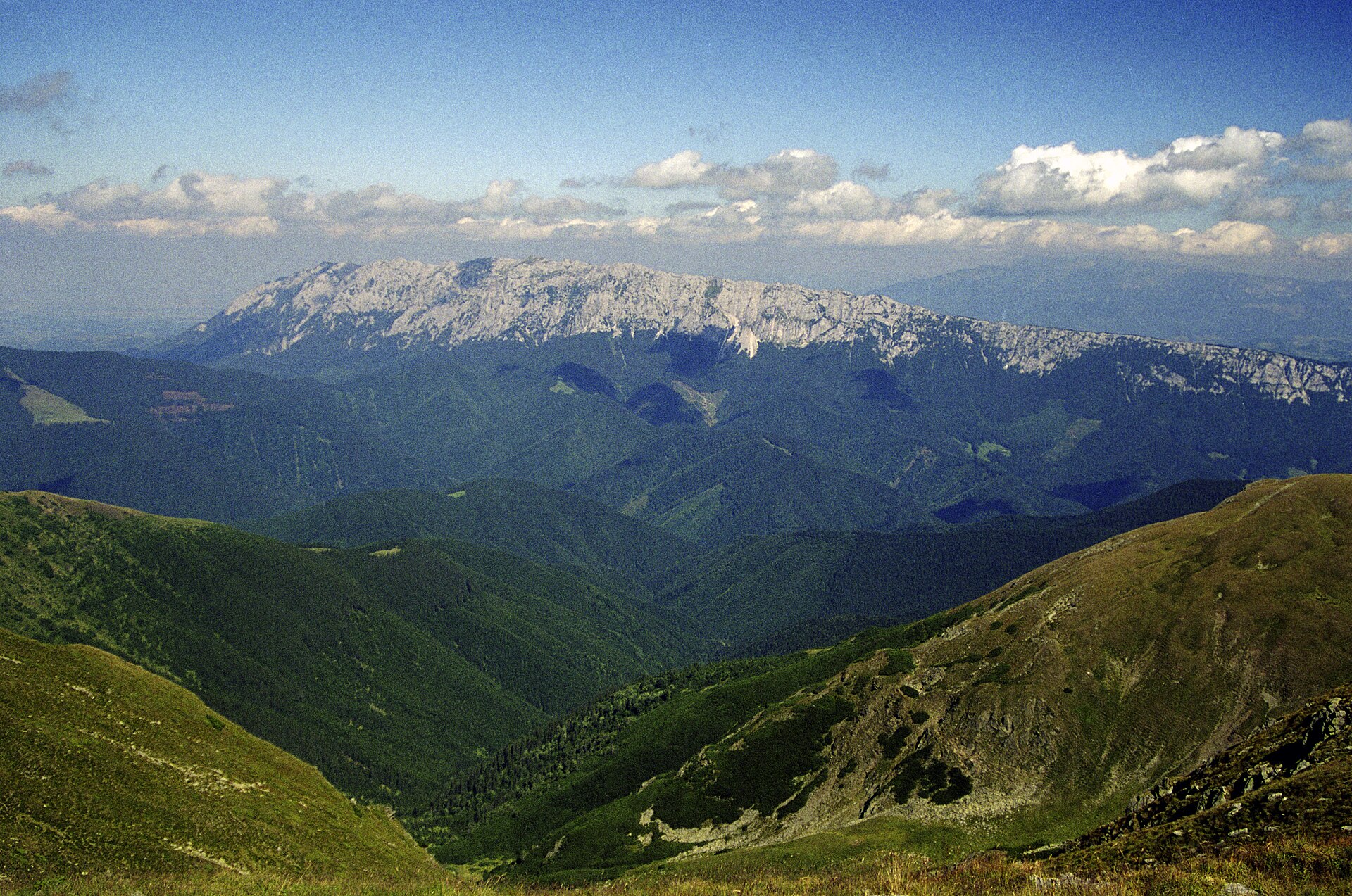
Bucegi and Piatra Craiului are the most accessible mountain areas from Brașov, Sinaia and Bușteni. Bucegi has high plateau walking, steep valley approaches and classic routes to Omu, while Piatra Craiului is defined by a long limestone ridge, narrow gorges and demanding marked trails.
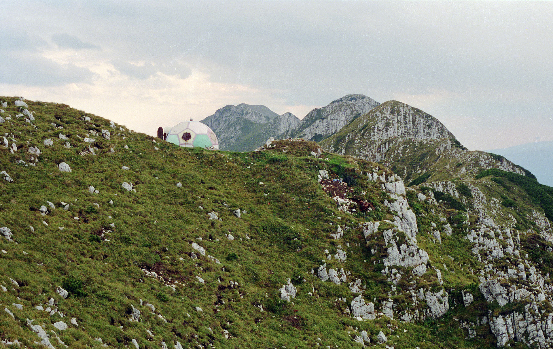
Retezat is more remote and more alpine in feel, with glacial lakes, high summits and long access roads. Apuseni is lower but highly distinctive, with karst depressions, cave entrances, dolines, sinkholes and forested plateaux.
The normal hiking season is late June to September for the high Făgăraș, Bucegi and Retezat routes, with earlier or later trips depending on snow and weather. Lower Piatra Craiului and Apuseni routes can often be walked for more of the year, but ice, wet limestone, high water in caves and gorges, fog and bear country remain important safety considerations.
Selection rationale
The five hikes were selected to represent the region rather than a single trailhead: Romania’s highest summit in Făgăraș, the classic Bucegi Omu traverse from Bușteni, a limestone gorge-and-hut circuit in Piatra Craiului, the Bucura–Peleaga–Păpușa high-mountain loop in Retezat, and the Cetățile Ponorului karst circuit in Apuseni.
Summary table
| # | Hike | Country | Route type | Distance | Gain | Max elevation | Difficulty |
|---|---|---|---|---|---|---|---|
| 1 | Stâna lui Burnei – Viștea Mare – Moldoveanu – Galbena circuit | Romania | Loop | 9.96–10.2 km | 1,060–1,190 m | 2,544 m | Hard mountain day |
| 2 | Bușteni – Valea Cerbului – Vârful Omu – Babele – Jepii Mici – Bușteni | Romania | Loop | approx. 20 km | approx. 1,600 m | c. 2,505 m | Very hard |
| 3 | Fântâna lui Botorog – Zărnești Gorge – Cabana Curmătura loop | Romania | Loop | 11 km | 600–760 m | 1,470 m | Moderate / intermediate |
| 4 | Poiana Pelegii – Lacul Bucura – Peleaga – Păpușa loop | Romania | Loop | 12.5–13.5 km | 1,040–1,200 m | 2,509 m | Hard |
| 5 | Cabana Padiș – Poiana Ponor – Cetățile Ponorului – Balcoane loop | Romania | Loop | 12 km | approx. 586 m (unresolved) | approx. 1,090 m (unresolved) | Moderate, with harder sections |
Note on route files. Route links are source references and may be replaced with project-owned GPX/KML files later. Route-file reuse is not legally cleared.
1. Stâna lui Burnei – Viștea Mare – Moldoveanu – Galbena circuit
Snapshot
Itinerary
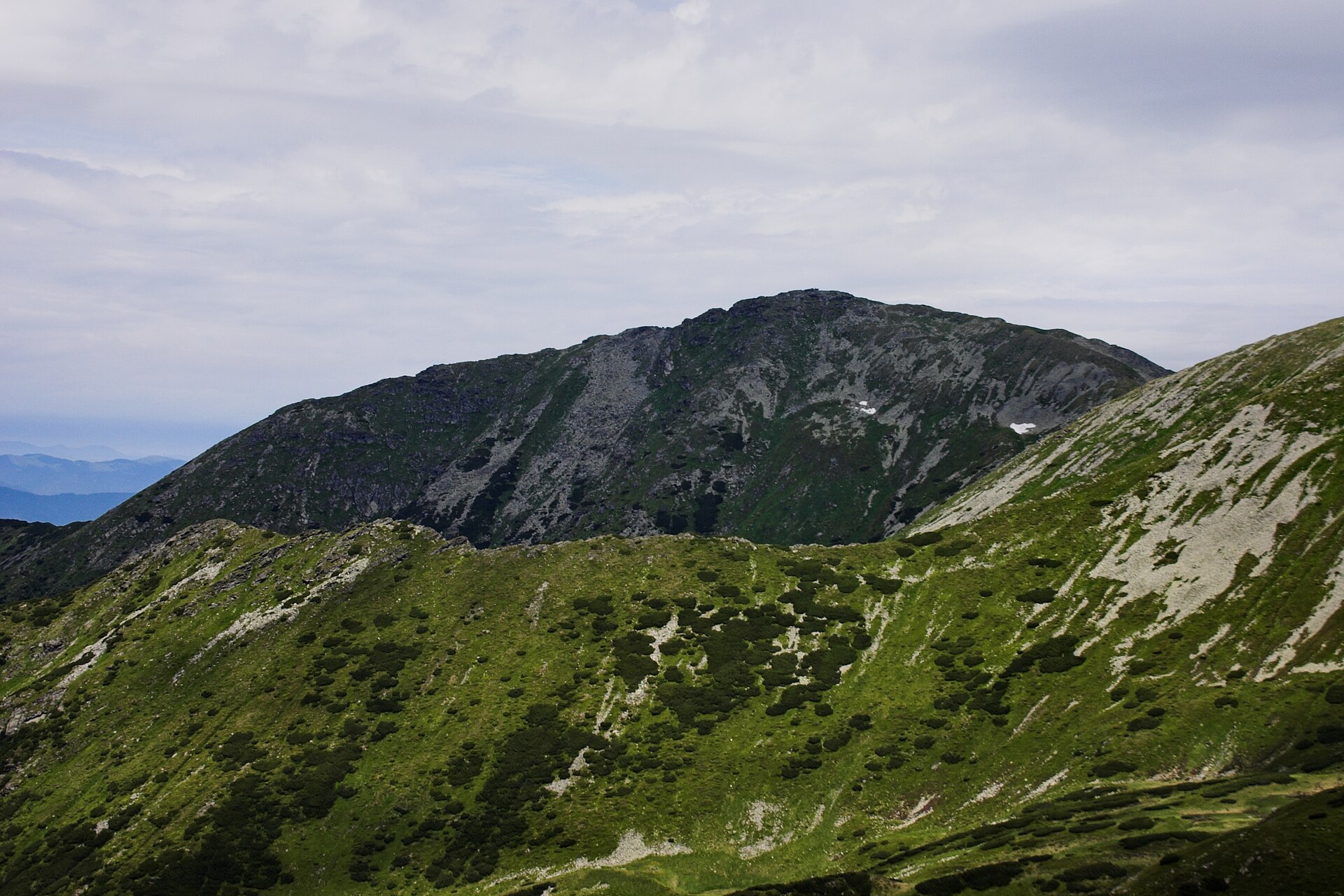
The route starts at Stâna lui Burnei and climbs through Valea Rea towards the high Făgăraș ridge. It reaches the Viștea Mare area, then continues to Moldoveanu, Romania’s highest summit. The return uses the Galbena side of the classic circuit back towards Stâna lui Burnei.
Why it is essential
This is the most direct classic day-hike to Romania’s highest summit and is the clearest Făgăraș representative for a five-hike regional catalogue. It combines a high summit objective, glacial-valley scenery, a demanding ascent and a full mountain circuit rather than a simple out-and-back.
Equipment
- Sturdy hiking boots
- Waterproof and windproof layer
- Warm layer
- Hat and gloves outside settled midsummer
- Map/GPS
- Navigation backup
- Headtorch
- Food and water
- Sun protection
- Trekking poles recommended
- Microspikes or crampons may be required if snow remains on the upper route
Hazards and notes
- Short in distance but serious in ascent, altitude and weather exposure.
- Early-season snow, thunderstorms and poor visibility can make the summit ridge significantly more serious.
- The access road to Stâna lui Burnei is long and partly unpaved.
GPX / KML links
| Source | URL | Format | Notes |
|---|---|---|---|
| Muntii Nostri — Circuit Clasic in Făgăraș | muntii-nostri.ro | GPX / KML / PDF listed | Terms not confirmed. Source route only until replaced with a project-owned version. |
External links
2. Bușteni – Valea Cerbului – Vârful Omu – Babele – Jepii Mici – Bușteni
Snapshot
Itinerary
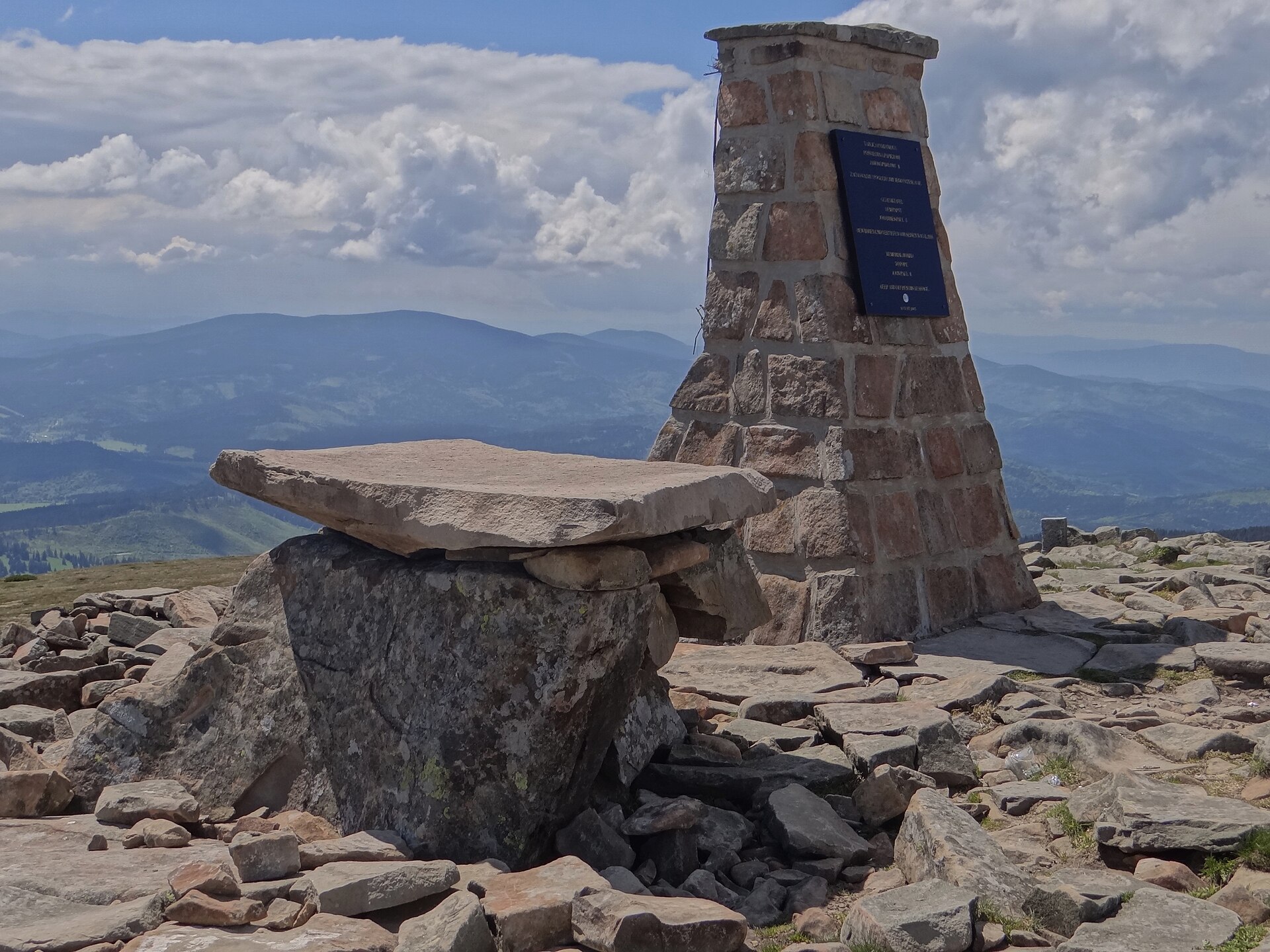
The route leaves Bușteni towards Plaiul Munticelu and Poiana Coștilei, then climbs the long Valea Cerbului approach to Vârful Omu. From Omu, it continues across the high Bucegi plateau towards Babele and descends to Bușteni via Jepii Mici.
Why it is essential
This is the major Bucegi mountain day from the Prahova Valley: a full-height ascent from Bușteni to the Omu summit area, a traverse of the high plateau and a descent on one of the best-known steep paths above Bușteni. It is longer and more serious than the cable-car-assisted plateau walks, and better represents the mountain character of Bucegi.
Equipment
- Sturdy boots
- Weatherproof shell
- Insulating layer
- Gloves and hat outside high summer
- Headtorch
- Navigation backup
- Water
- Food
- Sun protection
- Trekking poles recommended
- Fully charged phone or GPS
Hazards and notes
- Valea Cerbului is long, steep and has a large elevation gain.
- Jepii Mici includes accidented passages, exposed sections, slippery areas and steep slopes.
- Avoid in snow, ice, storms, high wind or poor visibility unless equipped and experienced for winter mountain conditions.
- Bear presence is possible in forested lower sections.
GPX / KML links
| Source | URL | Format | Notes |
|---|---|---|---|
| Bucegi Natural Park — Bușteni – Jepii Mici – Babele | bucegipark.ro | GPX | Official download available; reuse terms not clearly stated. Good for segment verification. |
| ExploreGIS — Valea Cerbului and Jepii Mici classic loop | exploregis.ro | GPX indicated | Terms not confirmed. Source route only until replaced. |
| Wikiloc — Bușteni – Valea Cerbului – Vârful Omu | wikiloc.com | GPS track / platform download | Wikiloc terms apply; account may be required. Secondary source for ascent leg. |
External links
- Bucegi Natural Park — official theme trails
- ExploreGIS — classic Bucegi loop
- Romania-Mountains — Omu hiking guide
- Wikiloc route
3. Fântâna lui Botorog – Zărnești Gorge – Cabana Curmătura loop
Snapshot
Itinerary
The route starts at Fântâna lui Botorog and follows the red-stripe trail to the entrance of Zărnești Gorge. It continues through the limestone canyon, then climbs through forest and open ground to Cabana Curmătura at 1,470 m. The return follows the yellow-band route below Piatra Mică, descending across more open terrain to the start.
Why it is essential
This is the best single-day introduction to Piatra Craiului without committing to the exposed main ridge. It combines the region’s limestone gorge scenery, a mountain hut, views towards the Piatra Craiului walls and a logical loop from a recognised trailhead.
Equipment
- Hiking boots with good grip
- Waterproof layer
- Warm layer
- Water
- Food or hut money
- Map/GPS
- Sun protection
- Trekking poles optional
- Microspikes recommended in winter or early spring when the gorge and return path can be icy
Hazards and notes
- The gorge path is rocky and can be wet after rain.
- Do not leave the marked trail in the gorge because the walls above are steep and loose rockfall is possible.
- Piatra Craiului park rules require following marked trails, checking the tourist map and camping only in designated places.
- Bear-aware food practices are advised.
GPX / KML links
| Source | URL | Format | Notes |
|---|---|---|---|
| Romania-Mountains — Zărnești Gorge and Curmătura Hut | romania-mountains.com | GPX | Terms not confirmed. GPX availability verified. Source route only until replaced. |
| Outdooractive — Zărnești Gorge and Curmătura Hut | outdooractive.com | Source map / platform route | Outdooractive terms apply. Secondary route/statistics verification. |
External links
- Romania-Mountains — route guide
- Outdooractive — Piatra Craiului listing
- Piatra Craiului National Park — visiting rules
4. Poiana Pelegii – Lacul Bucura – Peleaga – Păpușa loop
Snapshot
Itinerary
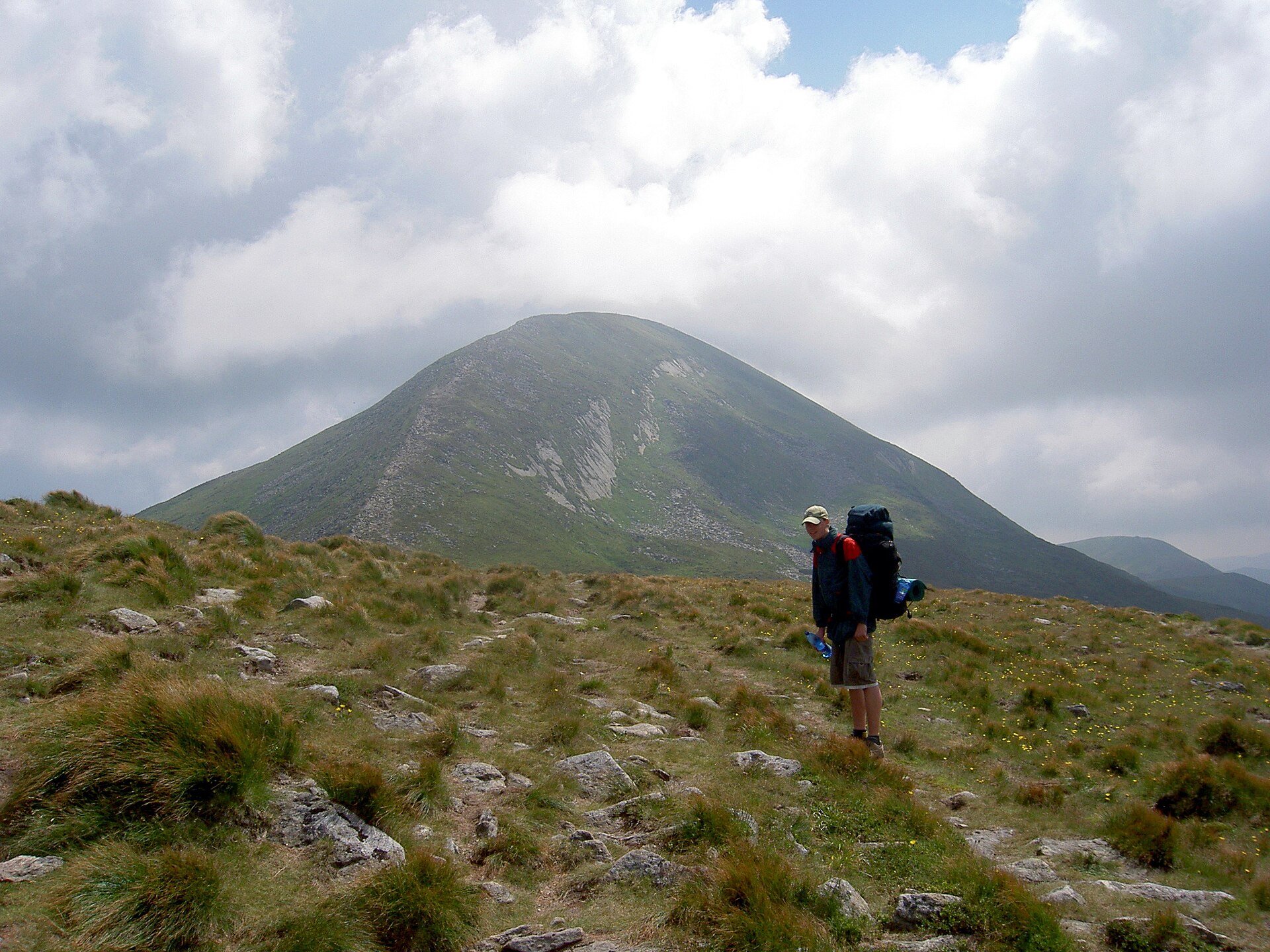
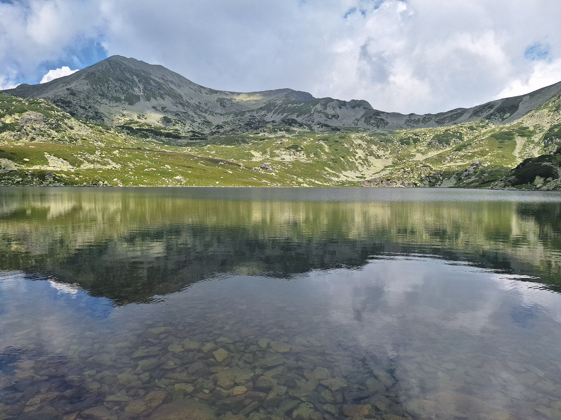
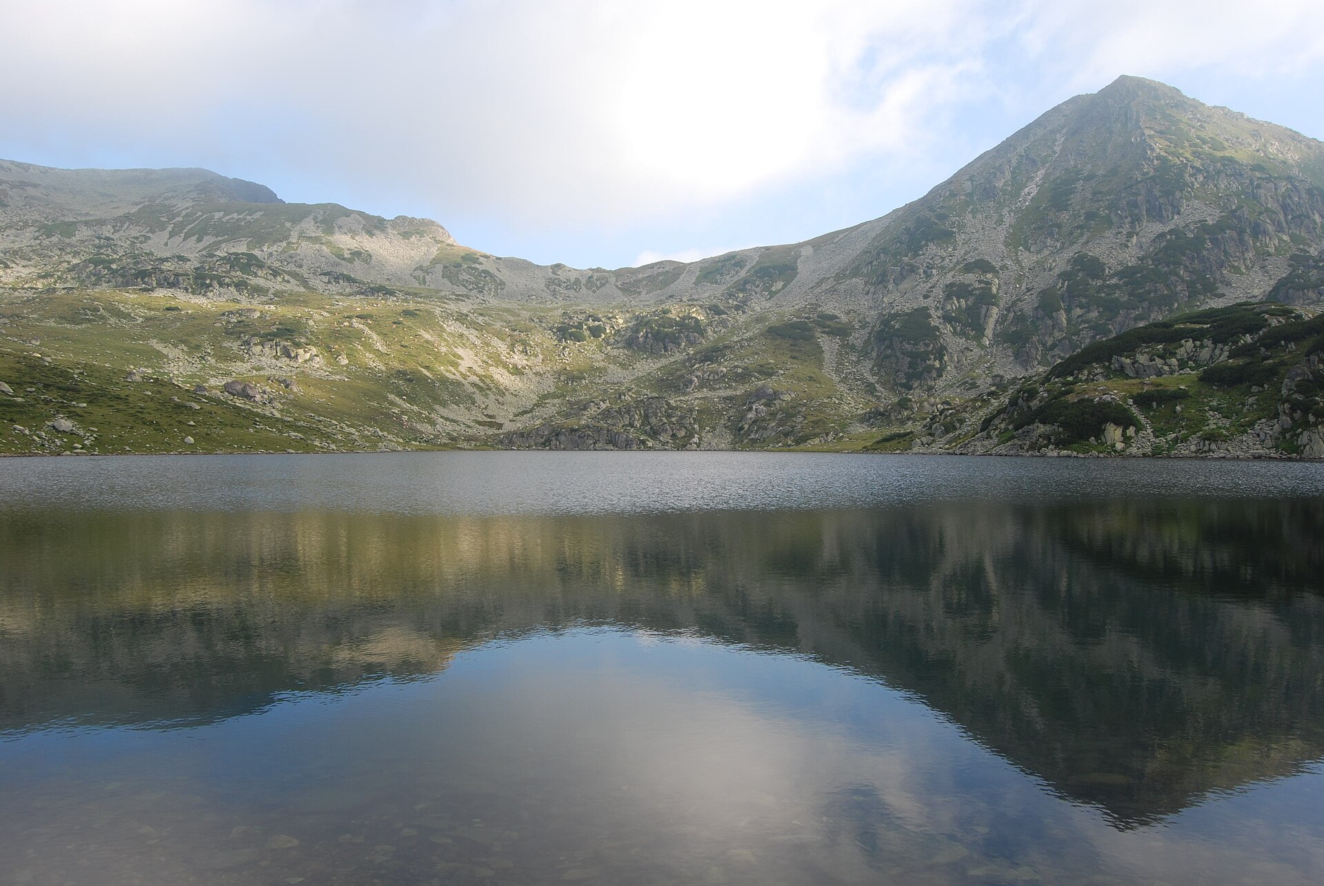
The route starts at Poiana Pelegii and climbs to Lacul Bucura, then continues to Peleaga, the highest summit in Retezat National Park. It traverses or links across to Păpușa before descending by Șaua Pelegii back towards Poiana Pelegii.
Why it is essential
This is the strongest Retezat day-hike candidate because it links the Bucura glacial-lake basin with the two highest summits in the national park. It combines classic Retezat scenery: forests, glacial lakes, alpine pastures, ridge trails and high peaks.
Equipment
- Sturdy boots
- Weatherproof layer
- Warm layer
- Hat and gloves
- Navigation backup
- Headtorch
- Food
- Water
- Sun protection
- Trekking poles recommended
Hazards and notes
- High, exposed mountain loop with fast weather changes.
- Rough rock and a serious descent.
- Hard route requiring sure-footedness.
- The route passes through Retezat National Park; local regulations and visiting-ticket requirements should be checked.
- Camping is permitted only in designated areas.
GPX / KML links
| Source | URL | Format | Notes |
|---|---|---|---|
| Komoot — Peleaga Peak – Păpușa Peak loop | komoot.com | Source map / platform route; GPX usually account-gated | Komoot terms apply. Use for verification only until replaced. |
| Muntii Nostri — Retezat route listing | muntii-nostri.ro | GPX indicated in source listing | Terms not confirmed. Candidate route-file source; direct route URL and download should be checked before use. |
External links
5. Cabana Padiș – Poiana Ponor – Cetățile Ponorului – Balcoane – Camping Glăvoi – Cabana Padiș
Snapshot
Itinerary
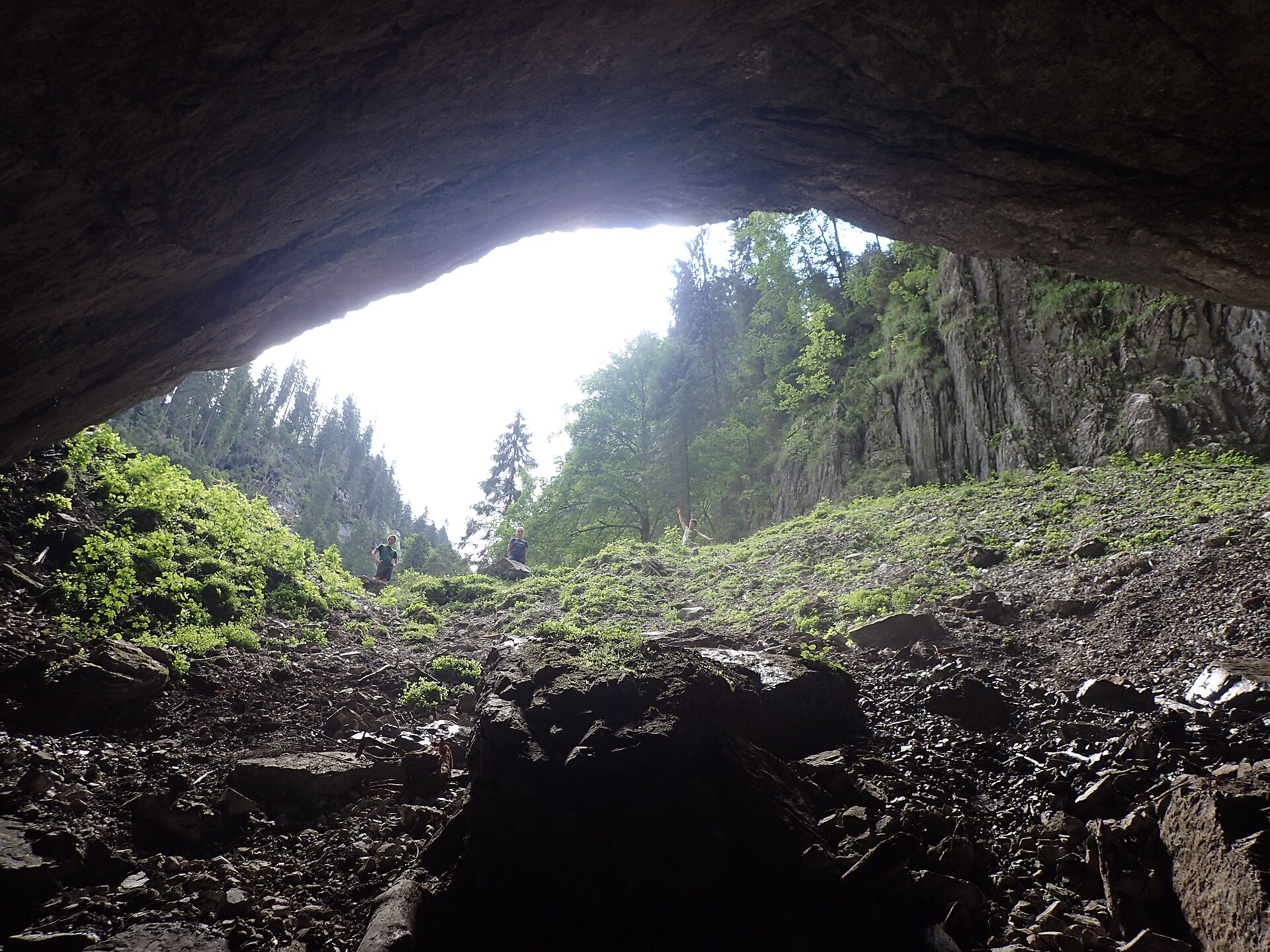
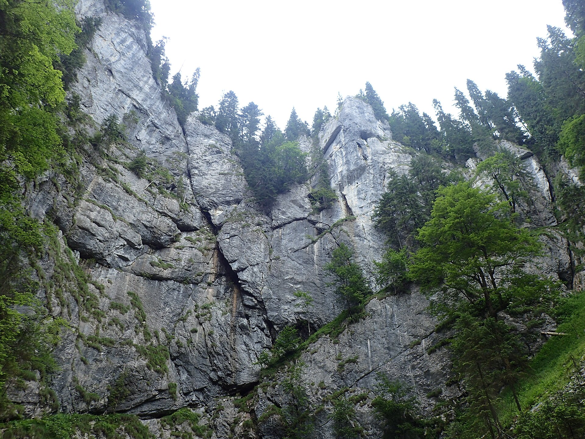
The circuit starts at Cabana Padiș and follows the blue-dot-marked route towards Poiana Ponor, Izbucul Ponor and the Cetățile Ponorului karst complex. It continues through the Cetățile Ponorului area, Dolina III and the balcony viewpoints, then returns via Camping Glăvoi to Cabana Padiș.
Why it is essential
This is the essential Apuseni selection because it showcases the Padiș karst landscape: sinkholes, cave entrances, enclosed depressions, underground drainage and balcony viewpoints.
Equipment
- Hiking boots with good grip
- Waterproof layer
- Warm layer
- Water
- Food
- Map/GPS
- Headtorch
- Helmet optional for groups spending time under rock walls or near cave entrances
Hazards and notes
- Steeper, slippery karst terrain.
- Metal stairs, cables and cave-entrance sections.
- Cave-portal access should only be considered in low-water conditions.
- Avoid cave and lower gorge sections after heavy rain, during snowmelt or in icy conditions.
- A shorter Cetățile Ponorului loop is flagged by Komoot as potentially dangerous, with technical/difficult terrain, chains and ladders.
GPX / KML links
| Source | URL | Format | Notes |
|---|---|---|---|
| Bihor in Imagini — Circuitul Cetățile Ponorului | bihorinimagini.ro | GPX link exposed | Terms not confirmed. GPX validity and reuse need follow-up. Source route only until replaced. |
| Komoot — Cetățile Ponorului loop | komoot.com | Source map / account-gated GPX | Komoot terms apply. Secondary source for technical and hazard notes; not the full 12 km route. |
External links
External links
| Source | URL |
|---|---|
| Muntii Nostri — Circuit Clasic in Făgăraș | muntii-nostri.ro |
| Bucegi Natural Park — official theme trails | bucegipark.ro |
| ExploreGIS — classic Bucegi loop | exploregis.ro |
| Romania-Mountains — Omu hiking guide | romania-mountains.com |
| Wikiloc — Bușteni – Valea Cerbului – Vârful Omu | wikiloc.com |
| Romania-Mountains — Zărnești Gorge and Curmătura Hut | romania-mountains.com |
| Outdooractive — Piatra Craiului listing | outdooractive.com |
| Piatra Craiului National Park — visiting rules | pcrai.ro |
| Retezat National Park — tourist information | retezat.ro |
| Komoot — Peleaga Peak – Păpușa Peak loop | komoot.com |
| Muntii Nostri — Retezat route listing | muntii-nostri.ro |
| Bihor in Imagini — Circuitul Cetățile Ponorului | bihorinimagini.ro |
| Komoot — Cetățile Ponorului loop | komoot.com |