Regional overview
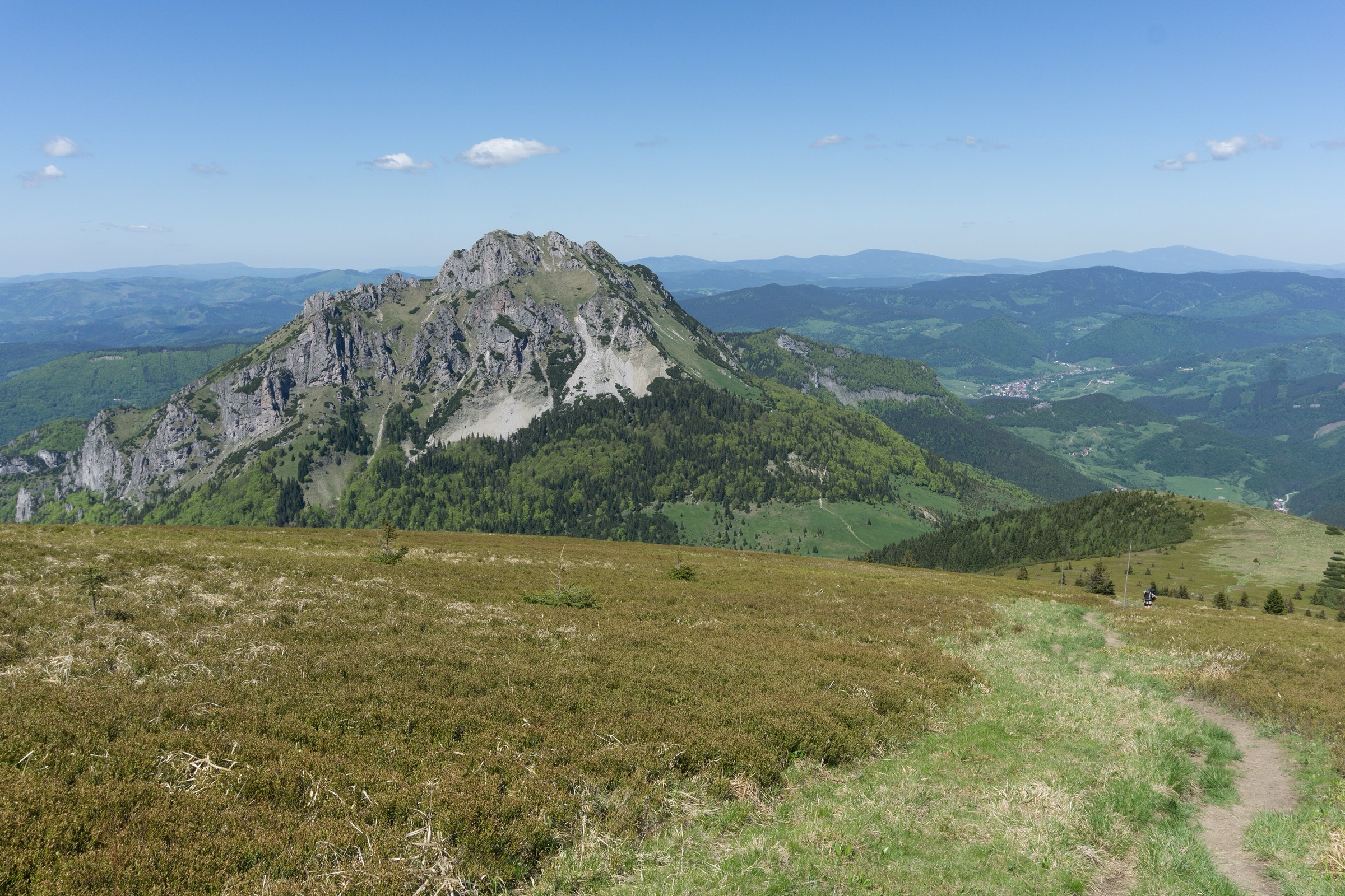
The High Tatras and Western Tatras form the most alpine part of the Carpathians, split between Poland and Slovakia. The High Tatras are compact, rocky and glacial, with tarns, granite cirques, high huts and exposed summit paths. The Western Tatras are broader and grassier in places, but still serious mountain terrain, especially on ridges such as Czerwone Wierchy and in Roháče.
Main hiking centres include Zakopane, Kuźnice, Palenica Białczańska and Kiry on the Polish side, and Starý Smokovec, Hrebienok, Tatranská Lomnica, Štrbské Pleso, Zuberec and Zverovka on the Slovak side. Public transport is useful on both sides, but some trailheads require seasonal buses, early starts or parking reservations.
The normal hiking season is roughly June to October. In Slovakia, many high-mountain hiking trails, including summits and passes, are seasonally closed from 1 November until the end of May, although paths to most mountain huts remain open. Polish Tatra National Park trails are generally more accessible year-round, but winter and spring conditions can require full winter-mountaineering judgement.
Safety issues include rapid weather changes, summer thunderstorms, lingering snow, avalanche risk outside summer, crowded chain sections, and protected-area rules. Dogs are prohibited in most of Poland’s Tatra National Park, with limited exceptions such as Dolina Chochołowska and Droga pod Reglami.
Selection rationale
The five hikes were selected to balance the region: one iconic summit, one Polish lake-and-waterfall classic, one Slovak high hut and tarn route, one Western Tatras ridge traverse, and one Roháče lake circuit. The set avoids duplicating the same Morskie Oko approach more than necessary while still including Rysy, the region’s most famous walker-accessible summit.
Summary table
| # | Hike | Country | Route type | Distance | Gain | Max elevation | Difficulty |
|---|---|---|---|---|---|---|---|
| 1 | Rysy from Palenica Białczańska via Morskie Oko | Poland | Out-and-back | 27.4 km | 1,750 m | c. 2,499–2,501 m | Strenuous |
| 2 | Five Polish Lakes Valley and Siklawa Falls | Poland | Out-and-back | 16.1 km | 835 m | c. 1,687 m | Hard |
| 3 | Hrebienok to Téryho chata | Slovakia | Out-and-back | 13.5 km | 922 m | c. 2,012–2,015 m | Hard |
| 4 | Kiry – Czerwone Wierchy – Kuźnice | Poland | Point-to-point | 15.4 km | 1,337 m | c. 2,120–2,122 m | Hard |
| 5 | Roháčske plesá Trail | Slovakia | Out-and-back / circuit variant | 12.2 km | 629 m | c. 1,665 m | Hard |
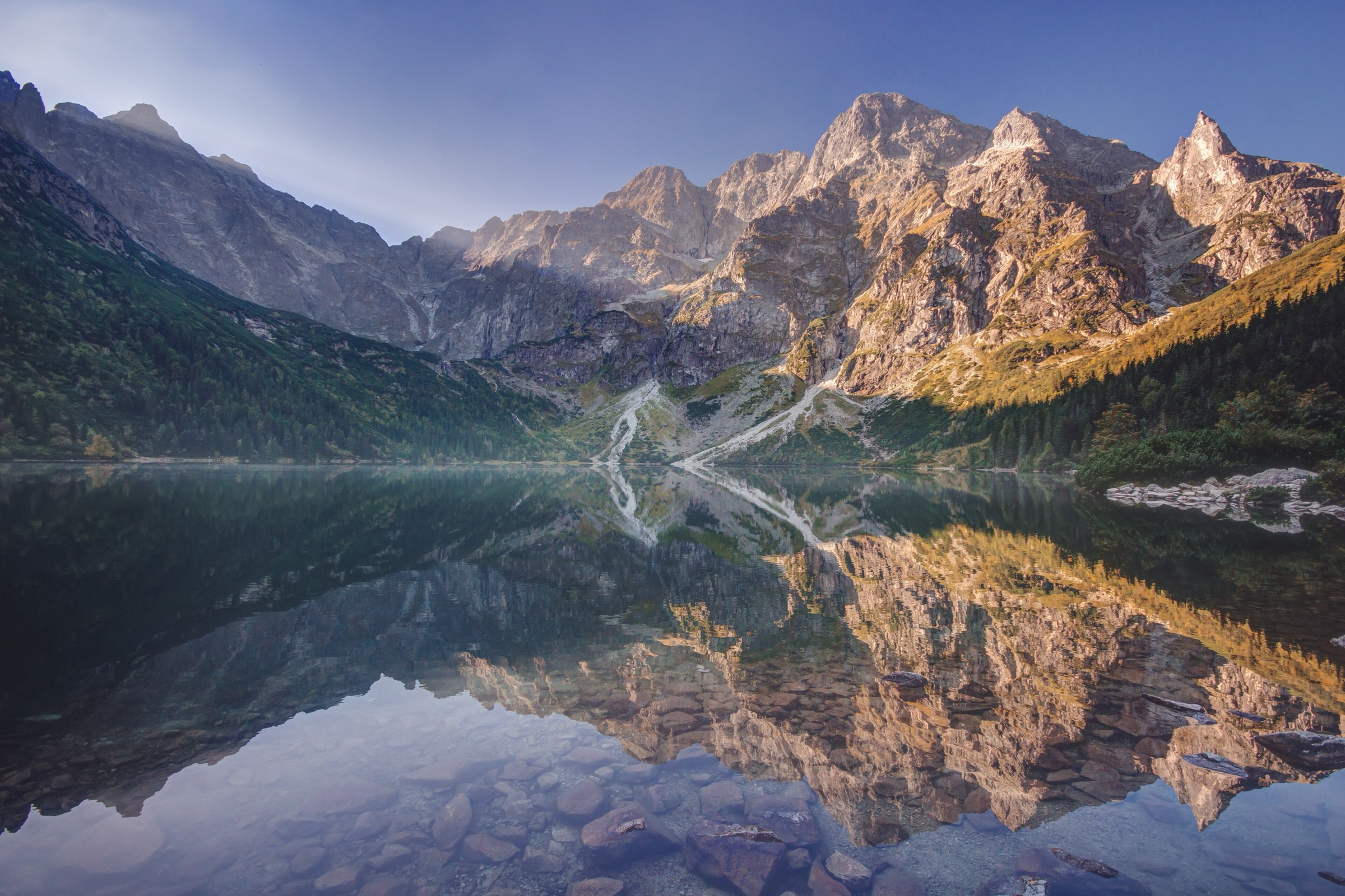
1. Rysy from Palenica Białczańska via Morskie Oko
Snapshot
Itinerary
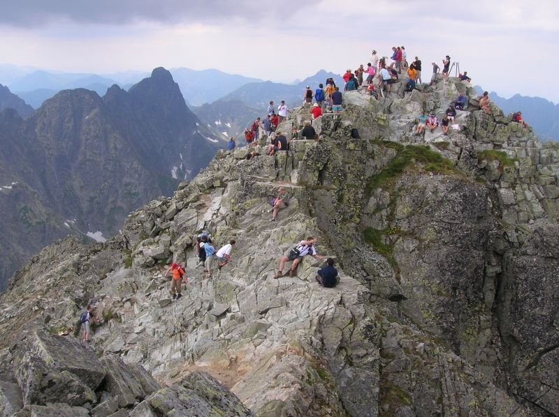
The route begins at Palenica Białczańska and follows the long approach road toward Morskie Oko. TPN lists Palenica Białczańska–Morskie Oko as an 11.6 km section, beginning at 990 m, with an asphalt and stone surface. From Morskie Oko the path climbs past Czarny Staw pod Rysami and then continues steeply into the upper mountain basin. The final Polish-side ascent is rocky, exposed and protected in places by chains. The full Palenica Białczańska–Morskie Oko–Rysy route is listed by AllTrails as 27.4 km with about 1,750 m of elevation gain, a strenuous difficulty rating, and an out-and-back format.
Why it is essential
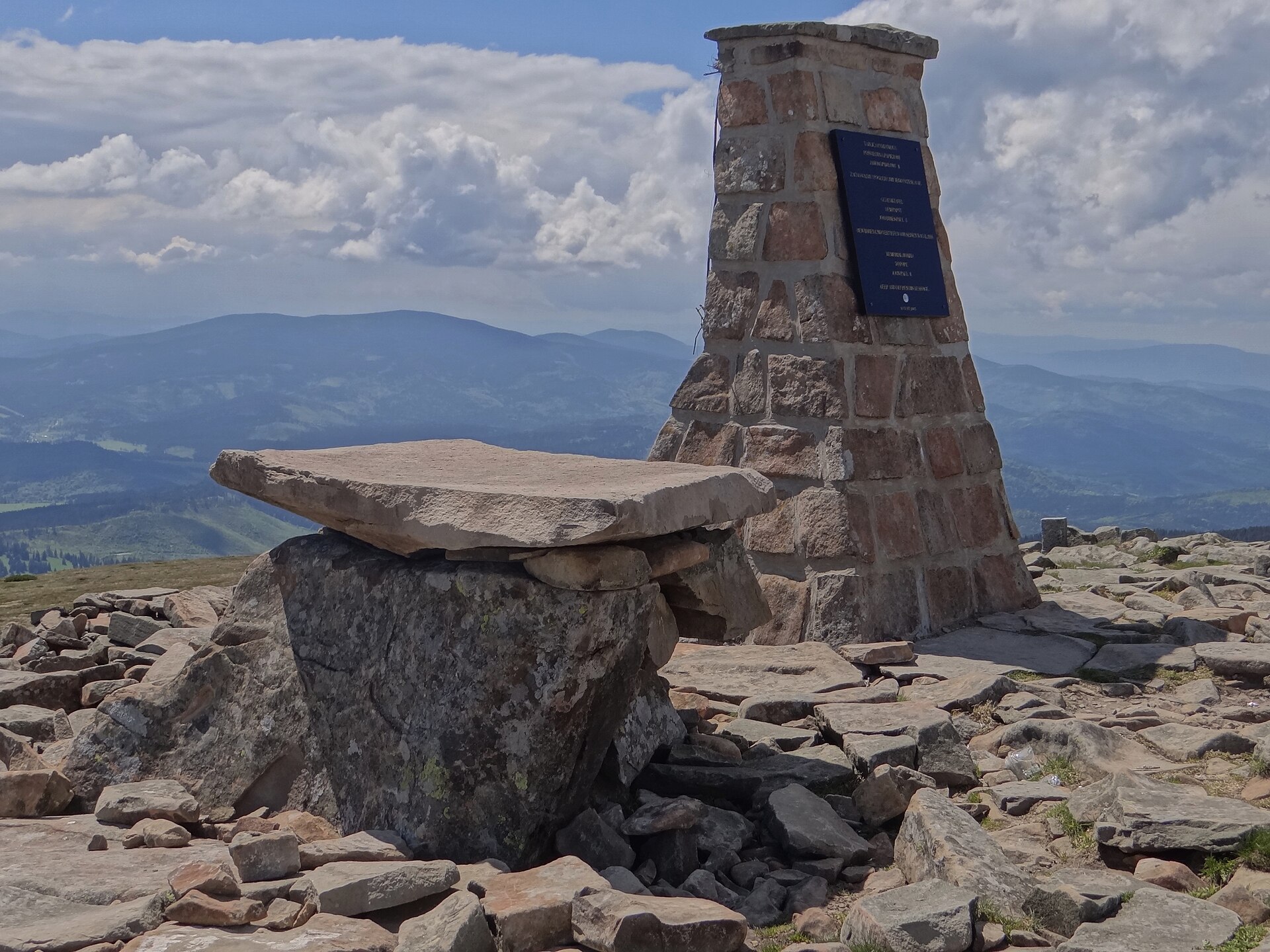
Rysy is the most iconic walker-accessible summit in the High Tatras and includes the highest point of Poland. It combines the classic Morskie Oko approach, Czarny Staw pod Rysami, high granite terrain and a summit on the Polish-Slovak frontier.
Equipment
- Sturdy mountain boots
- Warm and waterproof layers
- Navigation backup
- Headtorch
- Food and water
- Gloves for chain sections
- Microspikes, crampons or ice axe may be necessary when snow remains, but this changes the route into a more serious mountaineering objective
Hazards and notes
- Very long day
- Exposed rocky ground
- Chain-assisted sections
- Crowding at the chains
- Early season snow can make the upper route significantly more serious
- Polish Tatra National Park entrance rules, parking arrangements and current closures should be checked before departure
- Dogs are not allowed on this route under TPN rules except for specific legal exceptions
GPX / KML links
Route files will be replaced later with rebuilt GPX/KML files.
| Source | URL | Format | Notes |
|---|---|---|---|
| AllTrails route source | alltrails.com | Source map | AllTrails terms not checked. Source-map reference only; direct GPX reuse not cleared |
| TPN Palenica–Morskie Oko route page | tpn.gov.pl | Official route description | TPN website terms not checked for route data reuse. Useful for verification, not a GPX file |
Sources
- AllTrails — Palenica Białczańska – Morskie Oko – Rysy
- TPN — Palenica Białczańska–Morskie Oko route
- TPN — Dog restrictions
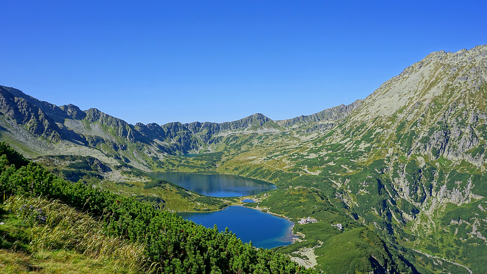
2. Five Polish Lakes Valley and Siklawa Falls
Snapshot
Itinerary
The route begins at Palenica Białczańska and initially follows the Morskie Oko approach before turning toward Wodogrzmoty Mickiewicza, Dolina Roztoki and Siklawa Falls. The path then climbs into Dolina Pięciu Stawów Polskich, a high glacial valley with tarns and the PTTK mountain hut. AllTrails lists the Palenica Białczańska–Siklawa Falls–Five Polish Lakes Valley route as a 16.1 km out-and-back with about 835 m of elevation gain, a hard rating and an estimated 345 minutes. TPN also lists longer variants linking the Five Polish Lakes Valley with Świstówka Roztocka and Morskie Oko, so distances vary by chosen finish and return line.
Why it is essential
This is the classic Polish High Tatras lake-and-waterfall day: Roztoka Valley, Siklawa Falls, the Five Polish Lakes basin and a high hut. It provides major glacial scenery without requiring a summit ascent.
Equipment
- Mountain hiking boots
- Waterproof and warm layers
- Map or GPS
- Food and water
- Trekking poles recommended
- Microspikes may be useful in early season if snow remains above the valley step
Hazards and notes
- Steep sections near Siklawa
- Crowding in high season
- Wet rock near waterfalls can be slippery
- TPN entrance rules and any Palenica/Morskie Oko access restrictions should be checked before departure
- Dogs are not permitted on this route under TPN rules except for specific legal exceptions
GPX / KML links
Route files will be replaced later with rebuilt GPX/KML files.
| Source | URL | Format | Notes |
|---|---|---|---|
| AllTrails route source | alltrails.com | Source map | AllTrails terms not checked. Source-map reference only; direct GPX reuse not cleared |
| TPN route list | tpn.gov.pl | Official route list | TPN website terms not checked for route data reuse. Useful for verification; not a direct GPX file |
Sources
- AllTrails — Palenica Białczańska – Siklawa Falls – Five Polish Lakes Valley
- TPN — Tourist routes
- TPN — Dog restrictions
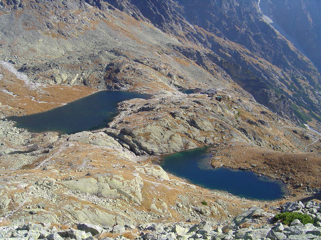
3. Hrebienok to Téryho chata
Snapshot
Itinerary
The route starts at Hrebienok and follows marked paths through the Studené Doliny area, passing waterfalls and forested lower slopes before reaching Zamkovského chata. From there the route continues into Malá Studená dolina, climbing more steeply through increasingly rocky high-mountain terrain to Téryho chata and the Spišské tarns. AllTrails lists Hrebienok–Téryho chata as a 13.5 km out-and-back with about 922 m of elevation gain, a hard rating and an estimated 336 minutes. TANAP states that high-mountain routes in the Slovak Tatras are affected by the 1 November to end-May seasonal closure, although most routes to mountain huts remain open.
Why it is essential
This is one of the classic Slovak High Tatras hut walks: waterfalls, the Malá Studená dolina, a high hut at about 2,015 m, and a tarn basin enclosed by major granite peaks.
Equipment
- Sturdy boots
- Waterproof and warm layers
- Navigation backup
- Water and food
- Trekking poles recommended for the descent
- Early-summer snow patches may require extra traction depending on conditions
Hazards and notes
- Rocky upper valley
- Weather-sensitive high-mountain terrain
- Snow patches and ice can persist outside midsummer
- Popular route in good weather
- Late returns can be an issue if starting below Hrebienok
GPX / KML links
Route files will be replaced later with rebuilt GPX/KML files.
| Source | URL | Format | Notes |
|---|---|---|---|
| AllTrails route source | alltrails.com | Source map | AllTrails terms not checked. Source-map reference only; direct GPX reuse not cleared |
| TANAP tourist-map link | tanap.sk | Official park site with tourist-map links | TANAP website reserves rights over site content. Useful for access/current rules; not a direct GPX file |
Sources
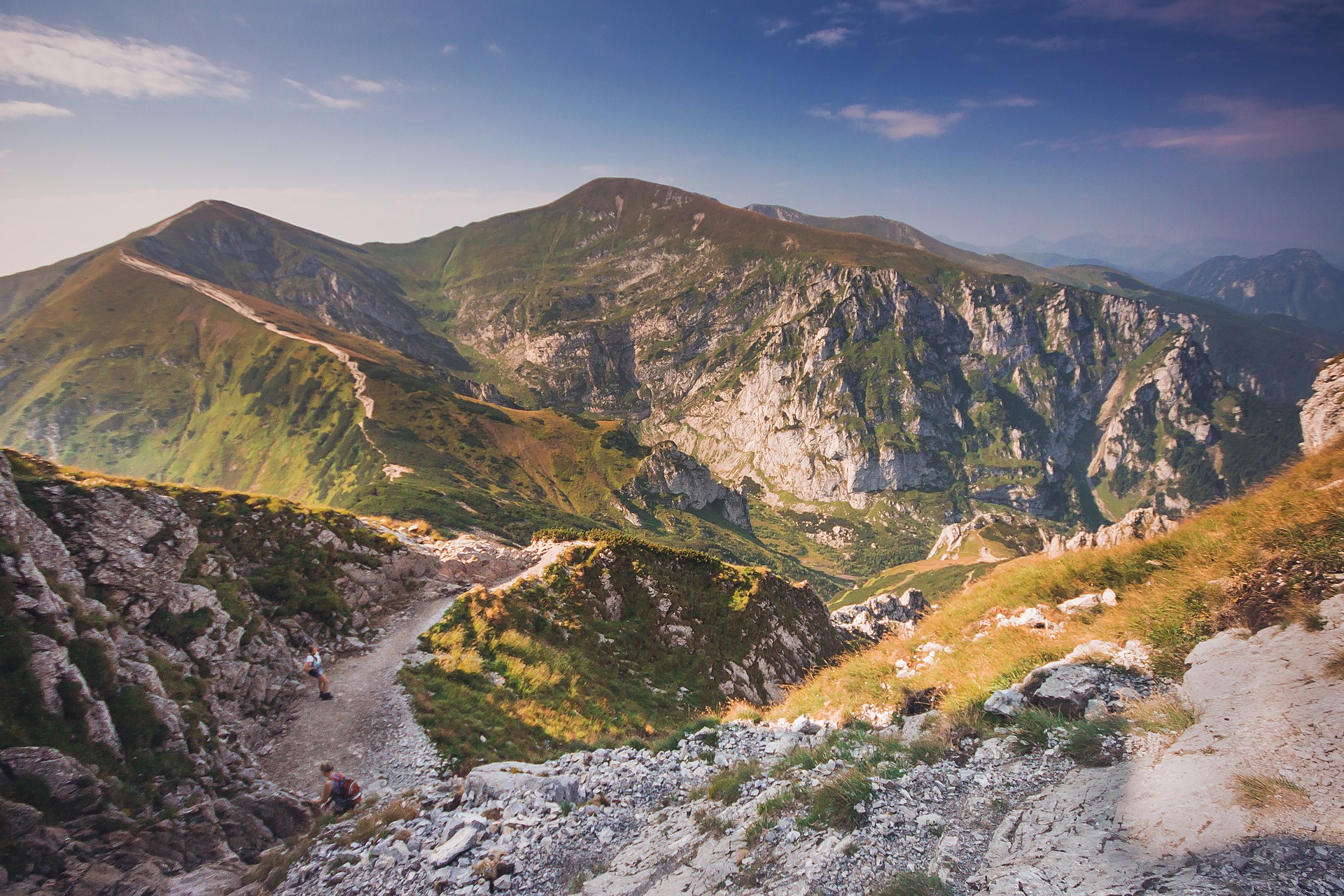
4. Kiry – Czerwone Wierchy – Kuźnice
Snapshot
Itinerary
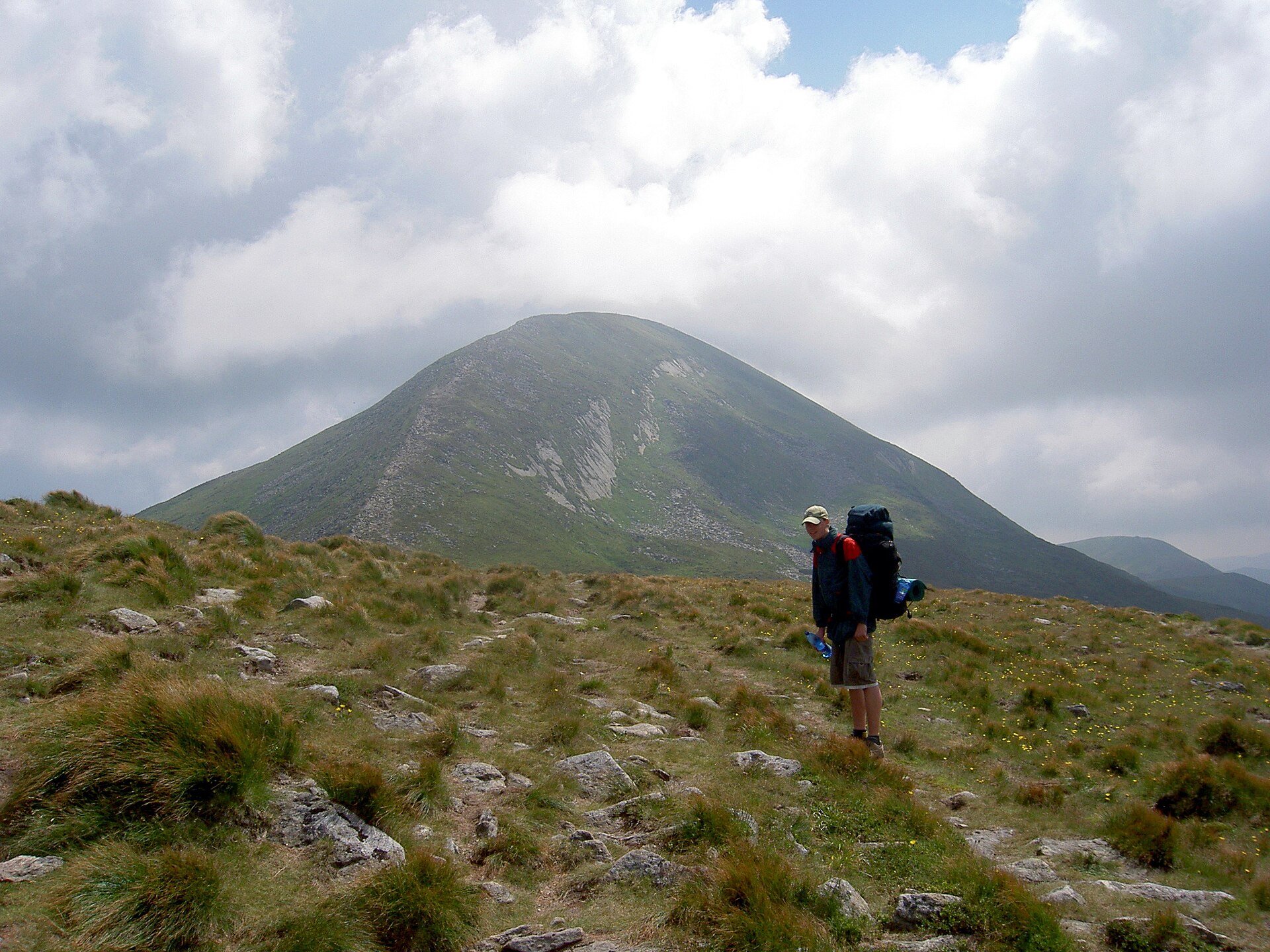
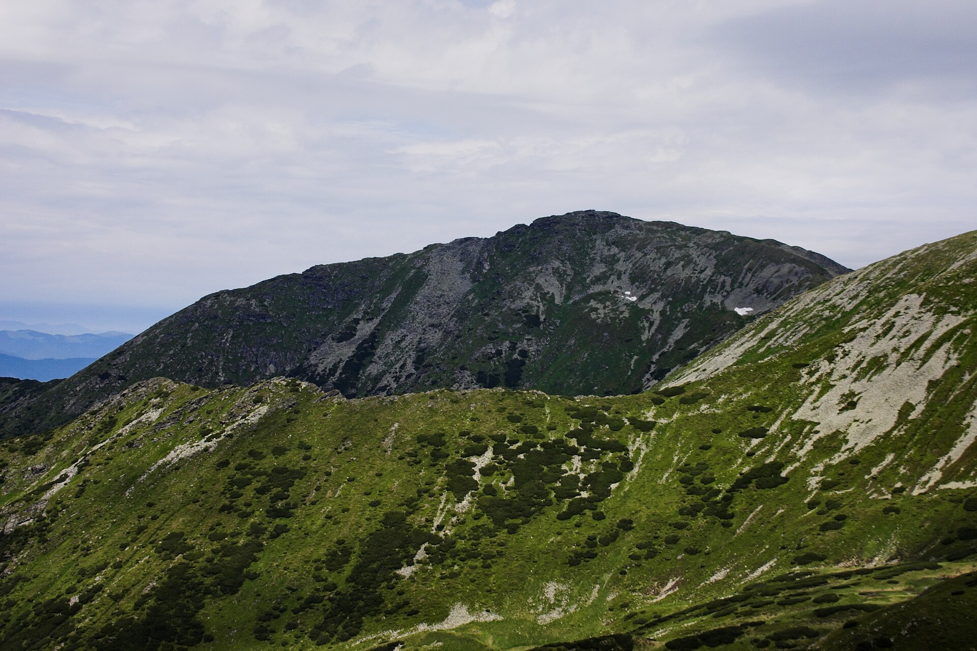
The route climbs from Kiry toward the high Western Tatras ridge, traverses the Czerwone Wierchy group and descends to Kuźnice. The route crosses open, weather-exposed terrain, with broad ridge walking and views across the High Tatras, Giewont and the Polish-Slovak frontier. AllTrails lists Kiry–Czerwone Wierchy–Kuźnice as a 15.4 km point-to-point route with about 1,337 m of ascent, a hard rating and an estimated 433 minutes. Czerwone Wierchy is a four-summit group on the main ridge of the Western Tatras; the highest point is Krzesanica at 2,122 m.
Why it is essential
Czerwone Wierchy is one of the defining ridge walks of the Polish Western Tatras. It represents the grassy, open, panoramic side of the range and contrasts well with the rockier High Tatras routes.
Equipment
- Mountain hiking boots
- Windproof and waterproof layers
- Warm layer
- Sun protection
- Water and food
- Map or GPS
- Headtorch for slow parties
- Trekking poles useful on long descents
Hazards and notes
- Ridge exposed to wind, lightning and poor visibility
- Long and committing once on the ridge
- Avoid thunderstorms
- Dogs are not allowed in most of TPN, including this route
GPX / KML links
Route files will be replaced later with rebuilt GPX/KML files.
| Source | URL | Format | Notes |
|---|---|---|---|
| AllTrails route source | alltrails.com | Source map | AllTrails terms not checked. Source-map reference only; direct GPX reuse not cleared |
| TPN route/map portal | tpn.gov.pl | Official park/map source | TPN website terms not checked for route data reuse. Useful for verification; not a direct GPX file |
Sources
5. Roháčske plesá Trail
Snapshot
Itinerary
The route explores the Roháče lake basin in the Slovak Western Tatras. It climbs from the Zverovka/Šindľovec–Adamcuľa side toward the Roháčske tarns, passing forest, open mountain terrain and lake viewpoints below the Roháče peaks. AllTrails lists the Roháčske plesá Trail as a 12.2 km route with about 629 m of elevation gain, a hard rating, and an out-and-back format. TANAP separately identifies the Roháčske plesá educational trail, stating that it begins at the Šindľovec crossroads, ends near Adamcuľa, and may take up to 4 hours to complete the circuit. TANAP also repeats the 1 November to 31 May seasonal closure.
Why it is essential
Roháčske plesá is the most representative lake walk in the Slovak Western Tatras. It provides a less rocky but still high-mountain contrast to the High Tatras routes, with tarns, forests and views into the Roháče amphitheatre.
Equipment
- Sturdy boots
- Waterproof and warm layers
- Map or GPS
- Food and water
- Sun protection
- Trekking poles useful
- Early or late season conditions can require winter traction depending on snow and ice
Hazards and notes
- Weather-sensitive mountain terrain
- Snow and navigation issues outside the main summer season
- TANAP seasonal closure must be respected
- Exact start/finish and route type vary by source
GPX / KML links
Route files will be replaced later with rebuilt GPX/KML files.
| Source | URL | Format | Notes |
|---|---|---|---|
| AllTrails route source | alltrails.com | Source map | AllTrails terms not checked. Source-map reference only; direct GPX reuse not cleared |
| TANAP Roháčske plesá educational trail panel | tanap.sk | Official educational-trail description | TANAP website reserves rights over site content. Useful for verification; not a direct GPX file |
Sources
External links
| Source | URL |
|---|---|
| TANAP, Tatra National Park Slovakia | tanap.sk |
| TANAP, Roháčske plesá educational trail | tanap.sk |
| TPN, Palenica Białczańska–Morskie Oko route | tpn.gov.pl |
| TPN, Tourist routes | tpn.gov.pl |
| TPN, Dog restrictions | tpn.gov.pl |
| AllTrails, Palenica Białczańska – Morskie Oko – Rysy | alltrails.com |
| AllTrails, Five Polish Lakes Valley | alltrails.com |
| AllTrails, Hrebienok – Téryho chata | alltrails.com |
| AllTrails, Kiry – Czerwone Wierchy – Kuźnice | alltrails.com |
| AllTrails, Roháčske plesá Trail | alltrails.com |
| Czerwone Wierchy reference | wikipedia.org |