Regional overview
The Atlantic island groups of Madeira, the Azores and the Canary Islands are volcanic mountain landscapes shaped by trade winds, cloud forests, sea cliffs, lava fields and high summit terrain. Hiking ranges from humid levada paths and laurel forest to exposed volcanic ridges, arid coastal headlands and high-altitude routes above 3,000 m.
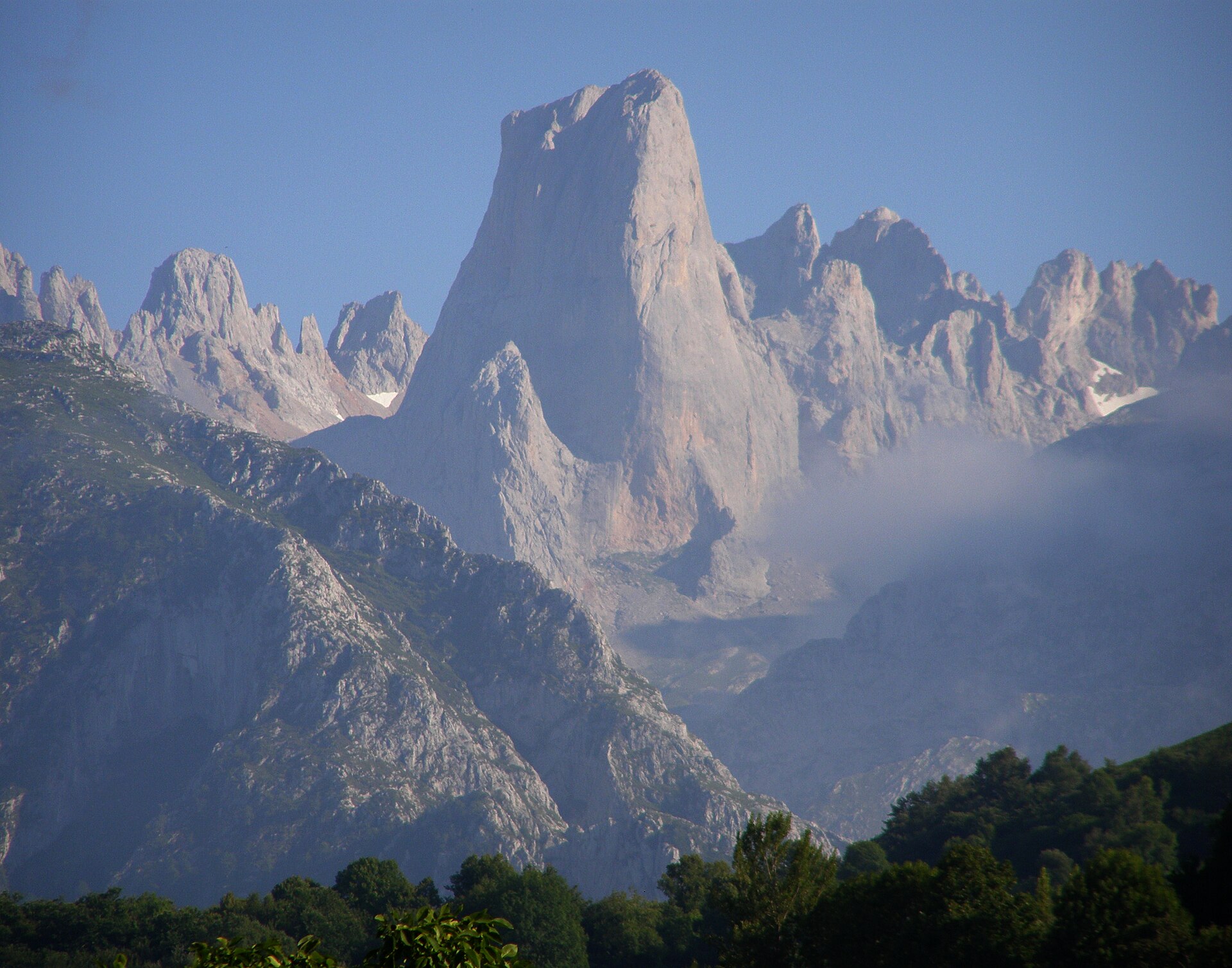
Madeira’s essential walking character is split between the central mountains and the dry eastern peninsula: PR1 crosses the island’s highest ridge system, while PR8 shows the stark, wind-exposed coastal geology of Ponta de São Lourenço. The Azores are less densely trail-networked but include one major Atlantic summit objective: Mount Pico, Portugal’s highest mountain at 2,351 m. The Canary Islands add the highest mountain in Spain, Teide, plus long volcanic traverses such as La Palma’s Ruta de los Volcanes.
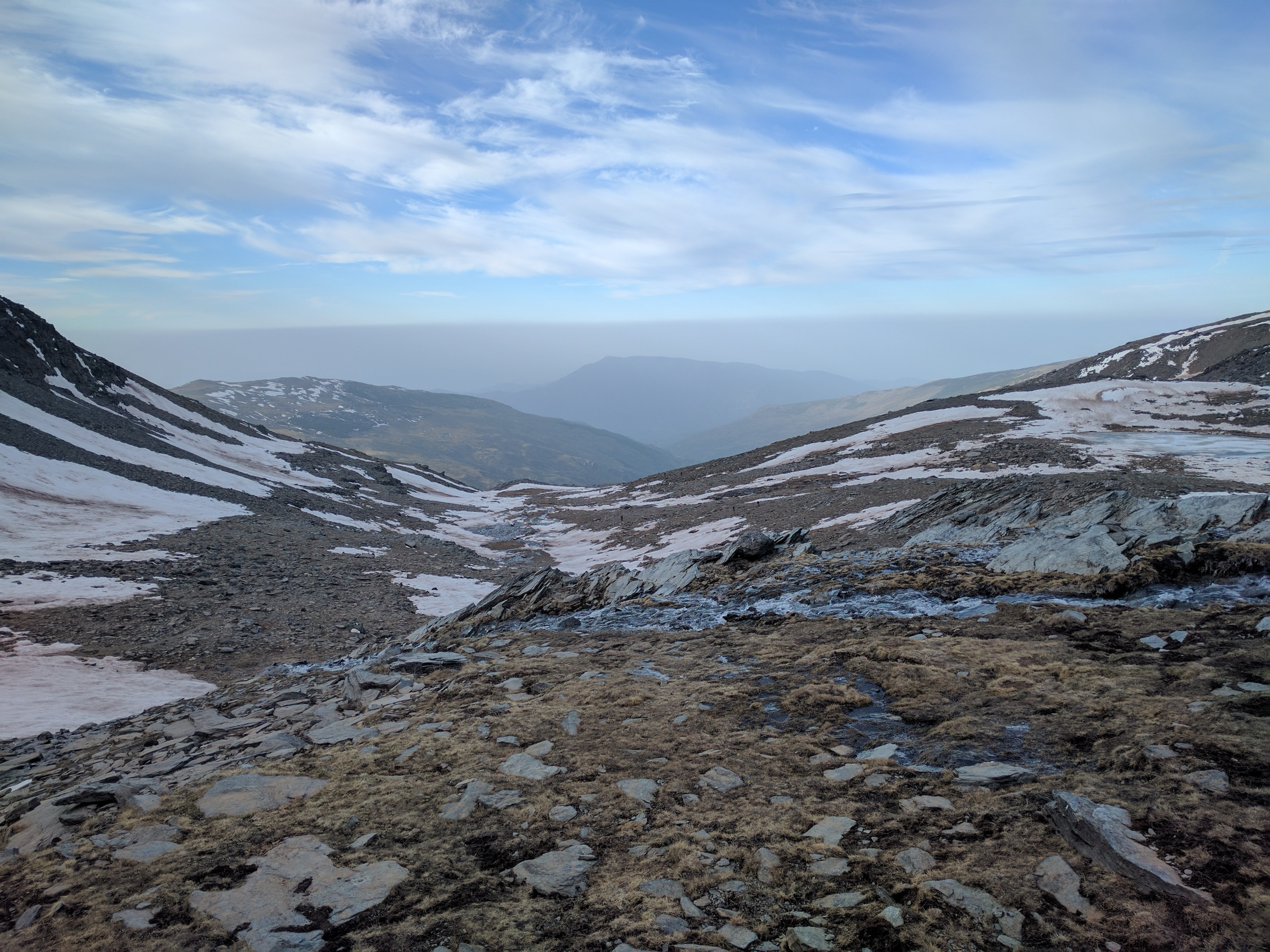
The main season is broad, but conditions are not uniform. Coastal and lower volcanic routes can be walkable for much of the year, while Pico, Teide and the higher Madeira ridges are highly weather-sensitive. Fog, strong wind, rain, heat, lack of shade and rapid temperature changes are recurring safety issues. Some routes require permits or payments, and official route-status checks are especially important on Madeira and in Teide National Park.
Selection rationale
These five hikes were selected to represent the island region rather than a single archipelago: two Madeira classics, one Azorean summit, and two Canary Island volcanic routes. The selection balances high ridges, coastal volcanic scenery, national high points and long crater-chain traverses, while keeping each route feasible as a day hike for fit walkers under suitable conditions.
Summary table
| # | Hike | Sub-region | Route type | Distance | Gain | Max elevation | Difficulty |
|---|---|---|---|---|---|---|---|
| 1 | PR1 Vereda do Areeiro — Pico do Areeiro to Pico Ruivo | Madeira, central mountains | Point-to-point mountain traverse | 6.1–7.0 km one-way | Not officially stated | 1,857 m | Moderate, but exposed and weather-sensitive |
| 2 | PR8 Vereda da Ponta de São Lourenço | Madeira, eastern peninsula | Out-and-back | 6 km return | Not officially stated | 126 m | Moderate |
| 3 | Montanha do Pico — Casa da Montanha to Piquinho | Azores, Pico Island | Out-and-back | 7.6 km return | 1,040–1,150 m | 2,351 m | Difficult / strenuous |
| 4 | Teide via PNT 07 Montaña Blanca + PNT 10 summit extension | Tenerife, Teide National Park | Linear ascent | 8.9 km to summit | c. 1,364 m | 3,718 m | High; strenuous high-altitude volcanic route |
| 5 | Ruta de los Volcanes — Refugio El Pilar to Los Canarios | La Palma, Cumbre Vieja | Point-to-point volcanic ridge traverse | 17.5–18.1 km | 1,932 m | High |
Note on route files. Route links are source references and may be replaced with project-owned GPX/KML files later.
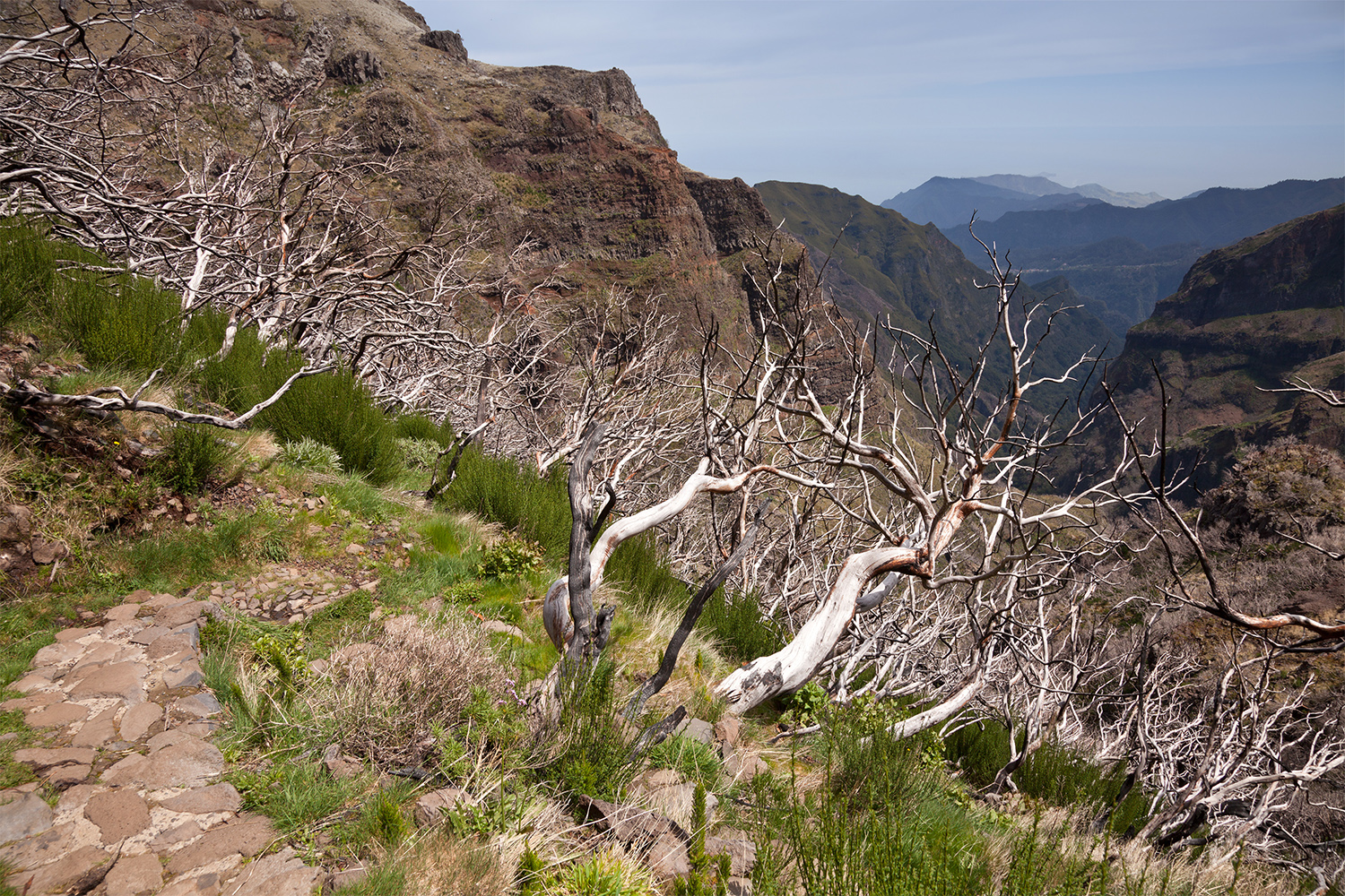
1. PR1 Vereda do Areeiro — Pico do Areeiro to Pico Ruivo
Snapshot
Visit Madeira lists PR1 as a 6.1–7.0 km route from Pico do Areeiro to Pico Ruivo, with a 3 hr 30 min walking time, moderate difficulty, and a maximum elevation of 1,857 m. The same official page states that, although the route is marked open, the footpath is accessible only between Pico do Areeiro and Pedra Rija Belvedere at kilometre 1.2 in the current access note.
Itinerary
The route starts at Pico do Areeiro and follows the high mountain ridge system towards Pico Ruivo. The official description identifies the line as crossing part of the central mountain massif, passing Pico das Torres and continuing towards the Pico Ruivo shelter before the final ascent to Madeira’s highest point. The route includes tunnels, steep slopes and a staircase section near Pico das Torres. For catalogue use, the classic full traverse should be treated as a conditional route. The official access note checked in this pass limits the accessible section to Pico do Areeiro–Pedra Rija Belvedere only, so the full crossing should not be published as currently walkable without a fresh official status check.
Why it is essential
PR1 is Madeira’s emblematic high-mountain traverse. It links the island’s most famous summit viewpoints and gives the strongest single-day impression of Madeira’s jagged volcanic ridge landscape.
Equipment
- Mountain hiking equipment
- Sturdy boots
- Weatherproof layer
- Warm layer
- Sun protection
- Water and food
- Map/GPS
- Headtorch for tunnels and delays
- Trekking poles useful
- Microspikes or winter traction only if local authorities report snow or ice
Hazards and notes
The route is exposed to cloud, wind and rapid weather change. Steep slopes, tunnels, staircases and narrow mountain path sections increase seriousness. The official Visit Madeira page states that access is currently restricted to the first 1.2 km, so route status must be checked before use. Madeira’s SIMplifica access-payment system applies to visitors over 12 on classified routes listed by the regional authority.
GPX / KML links
| Source | URL | Format | Notes |
|---|---|---|---|
| Visit Madeira PR1 official route page | visitmadeira.com | Official route page / map | Website reuse terms not checked. Use for route verification; no official GPX found in this pass. |
| Wikiloc PR1 tracks | wikiloc.com | User GPX/GPS track download | Wikiloc terms not checked. Secondary geometry only; recreate and cross-check before reuse. |
External links
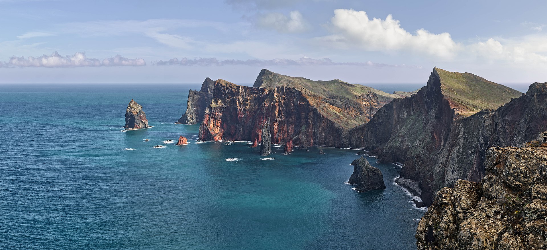
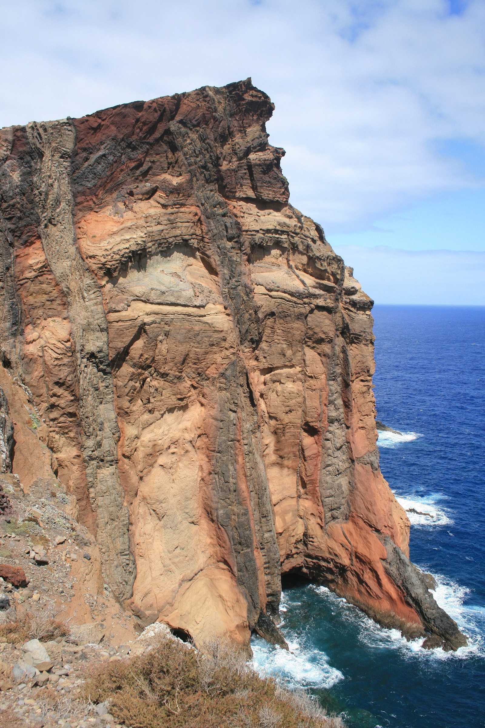
2. PR8 Vereda da Ponta de São Lourenço
Snapshot
Visit Madeira lists PR8 as a 3 km route each way between Baía d’Abra and Casa do Sardinha, with a 2 hr 30 min duration, moderate difficulty, maximum elevation of 126 m and minimum elevation of 23 m.
Itinerary
The route follows the dry, open eastern tip of Madeira from Baía d’Abra towards Casa do Sardinha. The path crosses a very different landscape from the island’s green interior: low volcanic ridges, eroded cliffs, sea views and sparse vegetation. The official page highlights seabirds and the possibility of observing the Mediterranean monk seal in the wider protected marine environment.
Why it is essential
PR8 is the classic coastal counterpoint to Madeira’s forest and high-mountain walks. It shows the island’s arid volcanic geology, ocean exposure and eastern headland scenery in a compact half-day route.
Equipment
- Standard hiking equipment
- Hiking shoes
- Weatherproof layer
- Water and food
- Sun protection
- Map/GPS
- Extra water because the route is exposed and has little shade
Hazards and notes
The route is exposed to sun, wind and cliff-edge hazards. In hot weather, dehydration can be a greater issue than distance. The official Madeira access-payment system applies to visitors over 12 on classified routes listed by the regional authority. Swimming at Cais do Sardinha is mentioned by Visit Madeira, but sea conditions should be assessed locally.
GPX / KML links
| Source | URL | Format | Notes |
|---|---|---|---|
| Visit Madeira PR8 official route page | visitmadeira.com | Official route page / map | Website reuse terms not checked. Use for route verification; no official GPX found in this pass. |
| MadeiraJourney PR8 route page | madeirajourney.com | GPX download indicated; registration may be required | Page copyright / reuse terms unresolved. Secondary route source only; recreate and cross-check before reuse. |
| Wikiloc PR8 tracks | wikiloc.com | User GPX/GPS track download | Wikiloc terms not checked. Secondary geometry only. |
External links
3. Montanha do Pico — Casa da Montanha to Piquinho
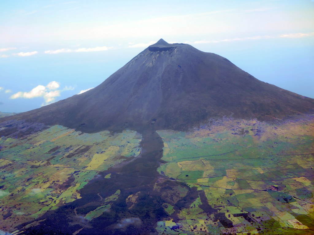
Snapshot
The Azores regional government route page states that Pico Mountain reaches 2,351 m and that the trail starts and ends at Casa da Montanha at around 1,200 m. It gives 3.8 km each way, about 1,150 m of vertical gain, and 3–4 hours for the ascent plus 3–4 hours for the descent. Portuguese Trails lists the route as 7.6 km with 1,040 m of ascent and descent, and provides a KML download.
Itinerary
The ascent begins at Casa da Montanha, where walkers register and receive route control information. The marked trail climbs steep volcanic ground towards the crater area and then to Piquinho, the highest point in Portugal. The official guidance notes varied terrain including earth, rock, gravel and mud, and stresses that visibility can deteriorate quickly in fog. The descent follows the same route back to Casa da Montanha. The official page recommends beginning the descent at least four hours before sunset and highlights the lack of shade and the possibility of temperatures around 10°C lower than at sea level.
Why it is essential
Mount Pico is the Azores’ defining mountain objective and the highest point in Portugal. The route is a compact but serious volcanic summit ascent with broad views across the central Azorean islands in clear weather.
Equipment
- Mountain hiking equipment
- Sturdy boots
- Weatherproof layer
- Warm layer
- Hat/gloves outside warm stable conditions
- Sun protection
- Food
- At least 1.5 litres of water
- Navigation backup
- Headtorch
- GPS tracker issued for the ascent
Hazards and notes
This is a regulated nature-reserve ascent with route capacity limits. The official page states a simultaneous capacity of 30 people on Piquinho, 160 people on the trail and 320 people per day. Fog, strong wind, rain, volcanic rock, mud and rapid weather change can make the route significantly more serious. Collection of natural material, trampling vegetation and leaving waste are prohibited. Fees apply.
GPX / KML links
| Source | URL | Format | Notes |
|---|---|---|---|
| Azores regional government Pico Mountain page | montanhapico.azores.gov.pt | Official route description | Government site terms not checked. Use for route verification; no GPX/KML found on this page. |
| Portuguese Trails — Montanha do Pico | portuguesetrails.com | KML download | Reuse terms not fully checked. Route file found; attribution and geometry recreation recommended. |
External links
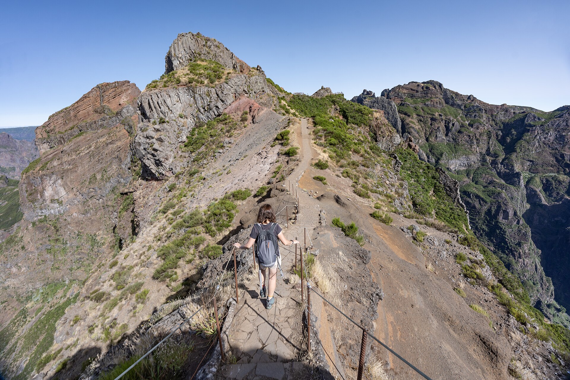
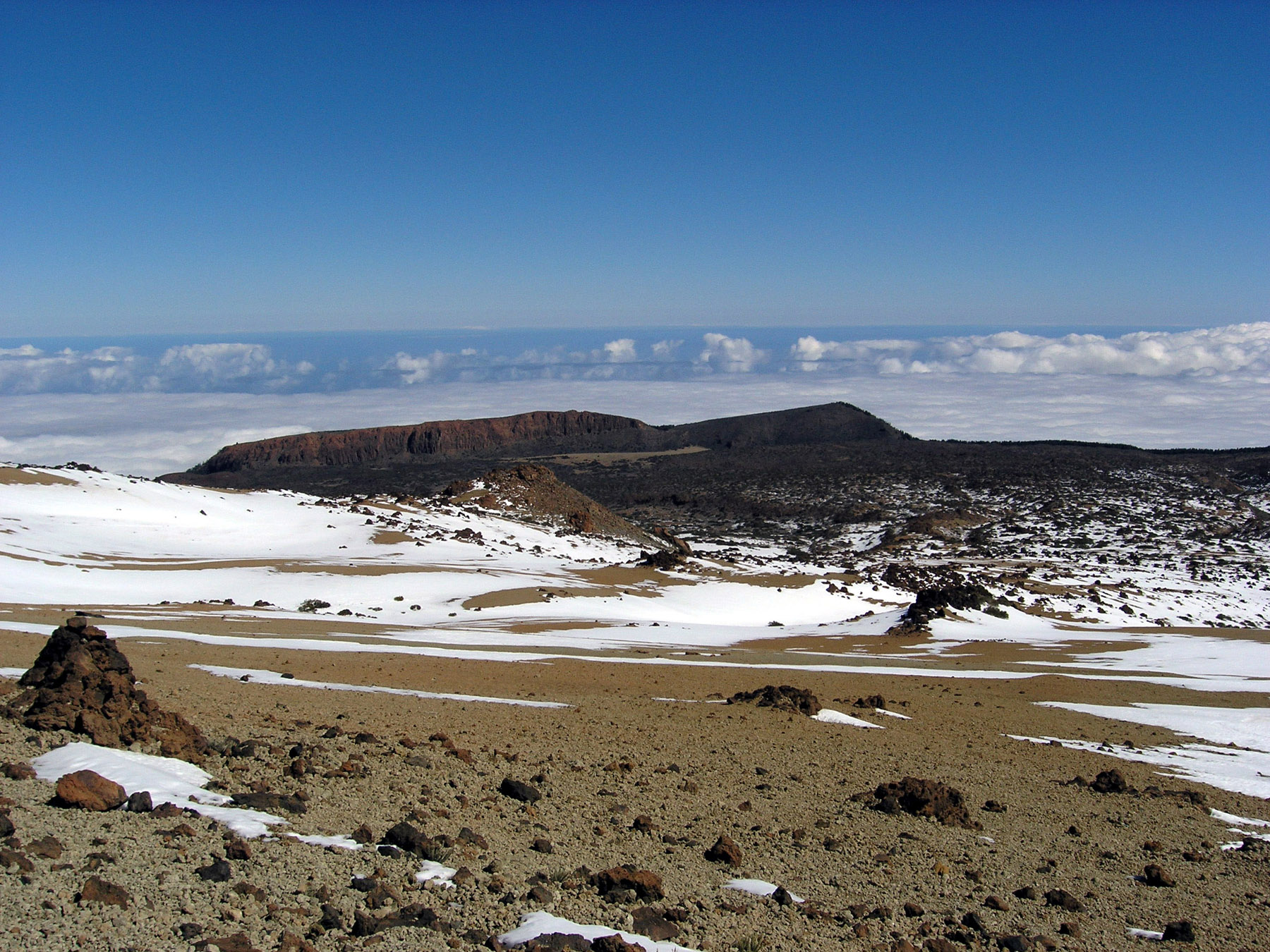
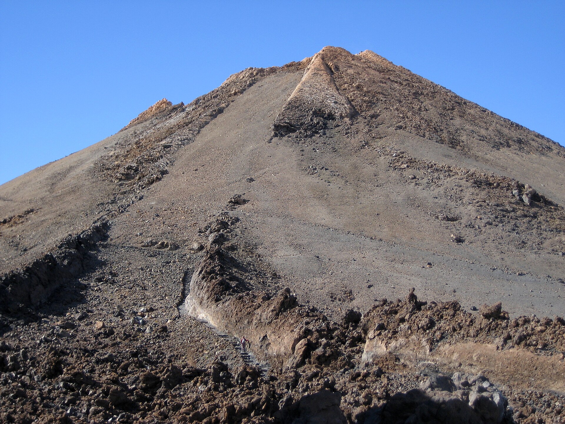
4. Teide via PNT 07 Montaña Blanca + PNT 10 summit extension
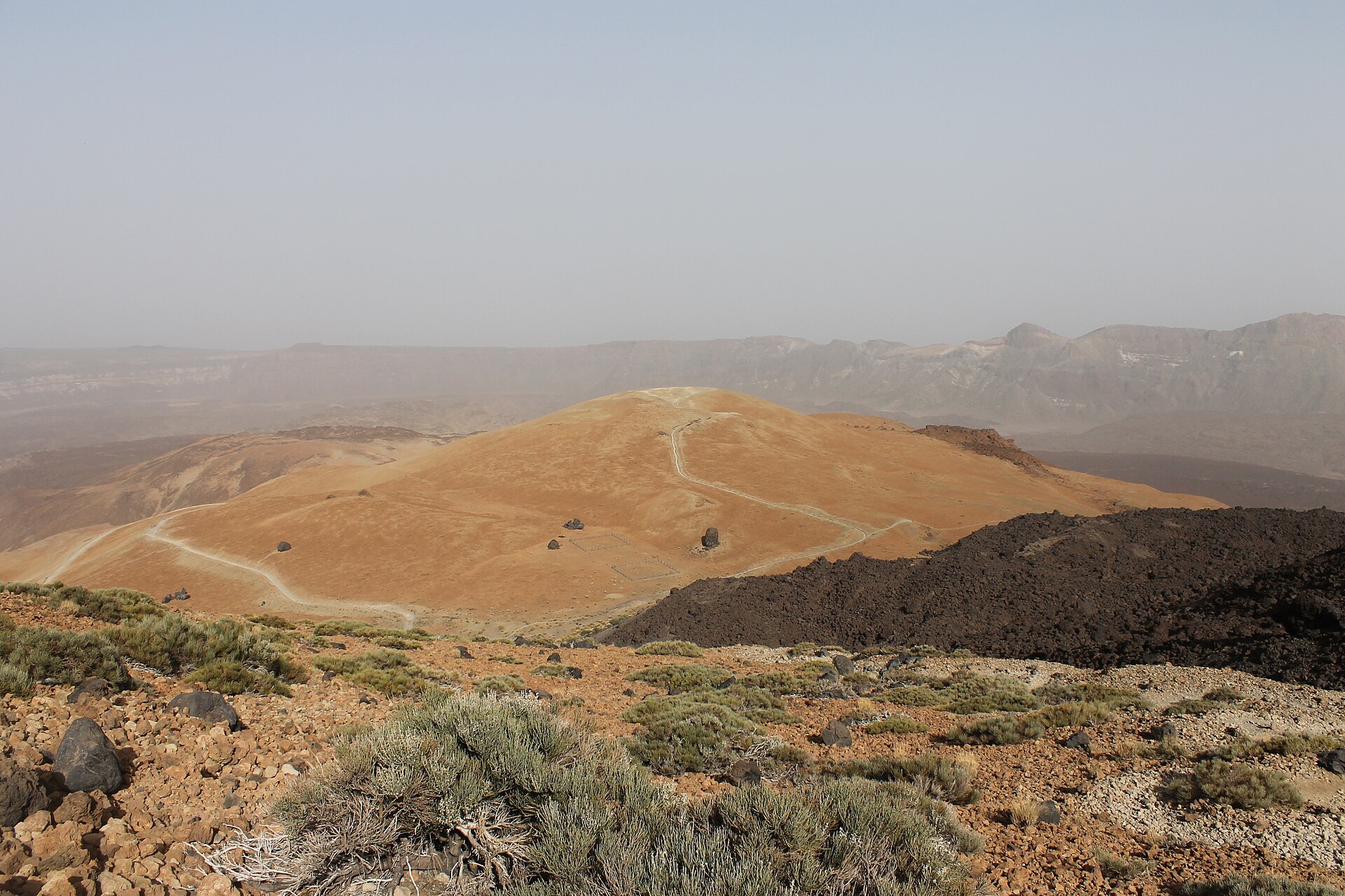
Snapshot
WebTenerife lists PNT 07 Montaña Blanca–La Rambleta as an 8.3 km linear route with high difficulty, 5 hr duration, maximum elevation of 3,536 m and 1,194 m of elevation gain. PNT 10 Telesforo Bravo adds 0.6 km from La Rambleta to the Teide summit, with 170 m of gain and a maximum elevation of 3,718 m.
Itinerary
The route begins at the foot of Montaña Blanca and climbs through pale volcanic terrain towards the upper slopes of Teide. PNT 07 continues by Lomo Tieso to the area of the Altavista Refuge and then to La Rambleta. WebTenerife describes steep gradients, high altitude and a demanding ascent suitable only for walkers in good physical condition. From La Rambleta, PNT 10 Telesforo Bravo climbs the final 0.6 km to the summit. This section is regulated and requires prior authorisation. Official information also notes fumaroles near the crater and steep slopes on the summit path.
Why it is essential
This is the most direct non-technical walking ascent of Teide, Spain’s highest mountain, through the volcanic heart of Teide National Park. It combines a major summit objective with one of Europe’s most distinctive high volcanic landscapes.
Equipment
- Mountain hiking equipment
- Sturdy boots
- Windproof/waterproof layer
- Warm layer
- Sun protection
- Food
- Ample water
- Navigation backup
- Headtorch if descent may be delayed
- Winter traction equipment may be required in snow or ice
- Summit permit required for PNT 10
Hazards and notes
Altitude, exposure, strong sun, wind, cold and rapid weather change are the main hazards. The official PNT 07 page recommends good physical condition because of high altitude and steep sections. PNT 10 requires authorisation, and official guidance tells walkers to stay on marked paths, avoid littering and check weather and trail conditions.
GPX / KML links
| Source | URL | Format | Notes |
|---|---|---|---|
| WebTenerife PNT 07 Montaña Blanca–Pico del Teide | webtenerife.co.uk | Official route page with GPX and KML downloads listed | WebTenerife route-file reuse terms not fully checked. Official route file found; attribution recommended. |
| WebTenerife PNT 10 Telesforo Bravo | webtenerife.co.uk | Official route description / regulated summit path | Reuse terms not checked. Use for summit-section verification; no separate GPX found in this pass. |
| OAPN / National Parks reservation information | reservasparquesnacionales.es | Permit / access-rule source | Not a route-file licence source. Use for summit-permit verification. |
External links
- WebTenerife — PNT 07 Montaña Blanca
- WebTenerife — PNT 10 Telesforo Bravo
- OAPN — Teide summit reservation information
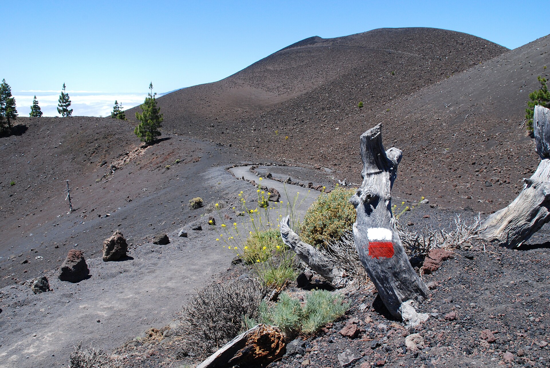
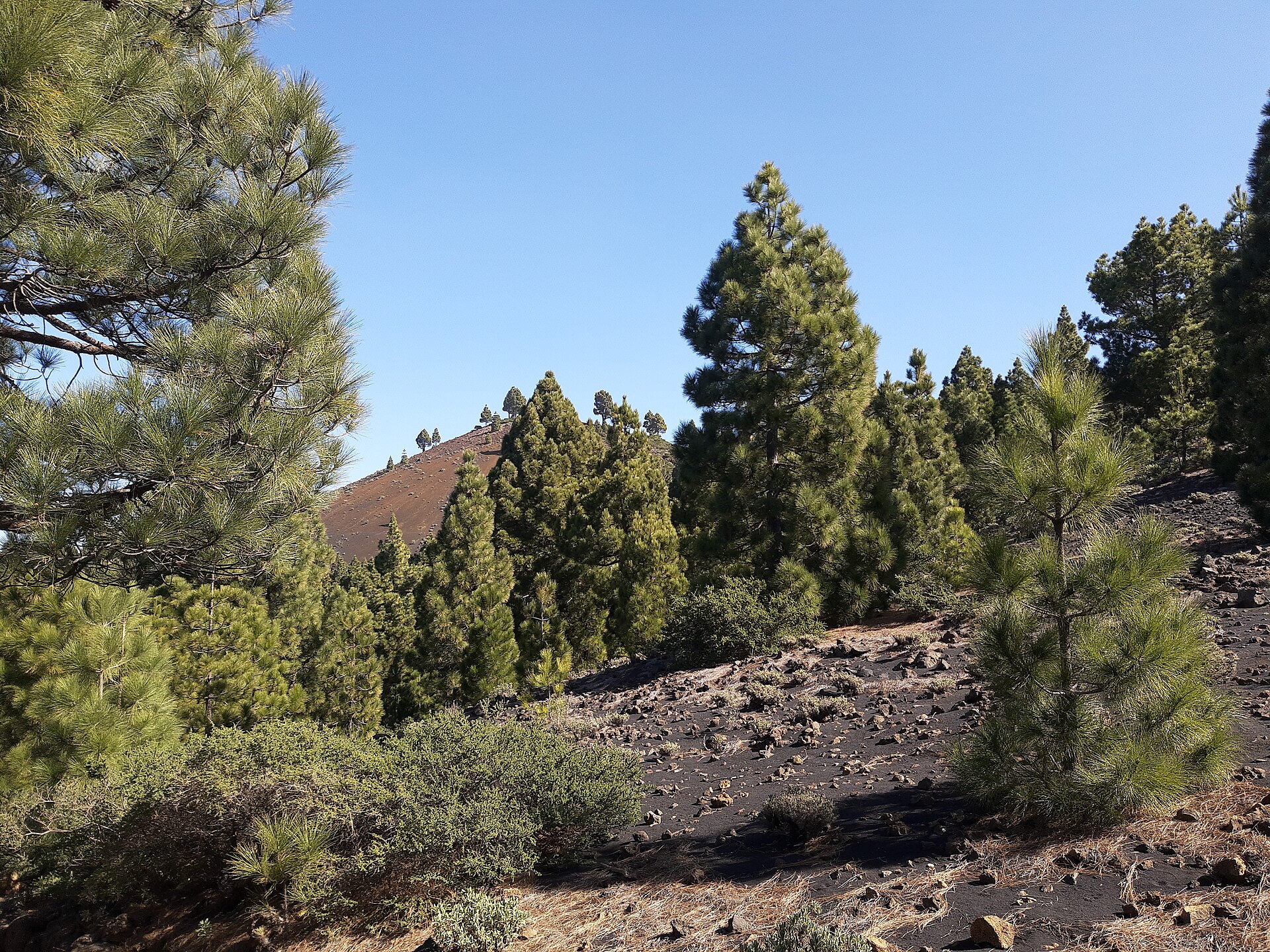
5. Ruta de los Volcanes — Refugio El Pilar to Los Canarios
Snapshot
Visit La Palma lists the Ruta de los Volcanes as 17.5 km, 5 hr 30 min, high difficulty, with an altitude range from 725 m at Fuencaliente to 1,932 m at the high point. Senderos de Canarias lists a related route file as 18.09 km, linear, 6 hr 28 min, with KML and GPX downloads; its title and gain/loss figures appear to describe the opposite direction or a variant.
Itinerary
The classic north-to-south traverse begins at Refugio El Pilar and follows the volcanic spine of Cumbre Vieja towards Los Canarios. The route crosses Canary pine forest, open volcanic ground and crater landscapes, with wide views across La Palma in clear weather. Visit La Palma describes the route as a long, scenic crossing through the centre of the island, while Senderos de Canarias notes that it follows the crest of Cumbre Vieja through a unique volcanic landscape.
Why it is essential
Ruta de los Volcanes is La Palma’s defining long day-hike. It gives a complete walking transect of the island’s volcanic ridge landscape and is one of the most recognised day routes in the Canary Islands.
Equipment
- Mountain hiking equipment
- Sturdy boots
- Trekking poles recommended
- Weatherproof layer
- Warm layer
- Sun protection
- Food
- Substantial water
- Navigation backup
- Head protection recommended by the official tourist page
Hazards and notes
The route is long, exposed and waterless for extended sections. Heat, wind, cloud and volcanic ash or loose lapilli can increase difficulty. Visit La Palma notes intermittent mobile coverage and recommends suitable clothing, mountain footwear, food and water for a 6–8 hour route. Public transport and taxi access are mentioned by Senderos de Canarias, but exact bus times should be checked before publication.
GPX / KML links
| Source | URL | Format | Notes |
|---|---|---|---|
| Visit La Palma official route page | visitlapalma.es | Official route page / downloadable PDF map material | Website and PDF reuse terms not checked. Use for route verification. |
| Senderos de Canarias / Senderos de La Palma | lapalma.senderosdecanarias.com | KML and GPX downloads listed | Reuse terms not fully checked. Route file found; geometry should be recreated and statistics reconciled. |
External links
External links
| Source | URL |
|---|---|
| Visit Madeira — PR1 Vereda do Areeiro | visitmadeira.com |
| Visit Madeira — PR8 Vereda da Ponta de São Lourenço | visitmadeira.com |
| Azores regional government / SRAAC — Pico Mountain | montanhapico.azores.gov.pt |
| Portuguese Trails — Montanha do Pico | portuguesetrails.com |
| WebTenerife — PNT 07 Montaña Blanca | webtenerife.co.uk |
| WebTenerife — PNT 10 Telesforo Bravo | webtenerife.co.uk |
| OAPN — Teide summit reservation | reservasparquesnacionales.es |
| Visit La Palma — Ruta de los Volcanes | visitlapalma.es |
| Senderos de Canarias — Ruta de los Volcanes | lapalma.senderosdecanarias.com |