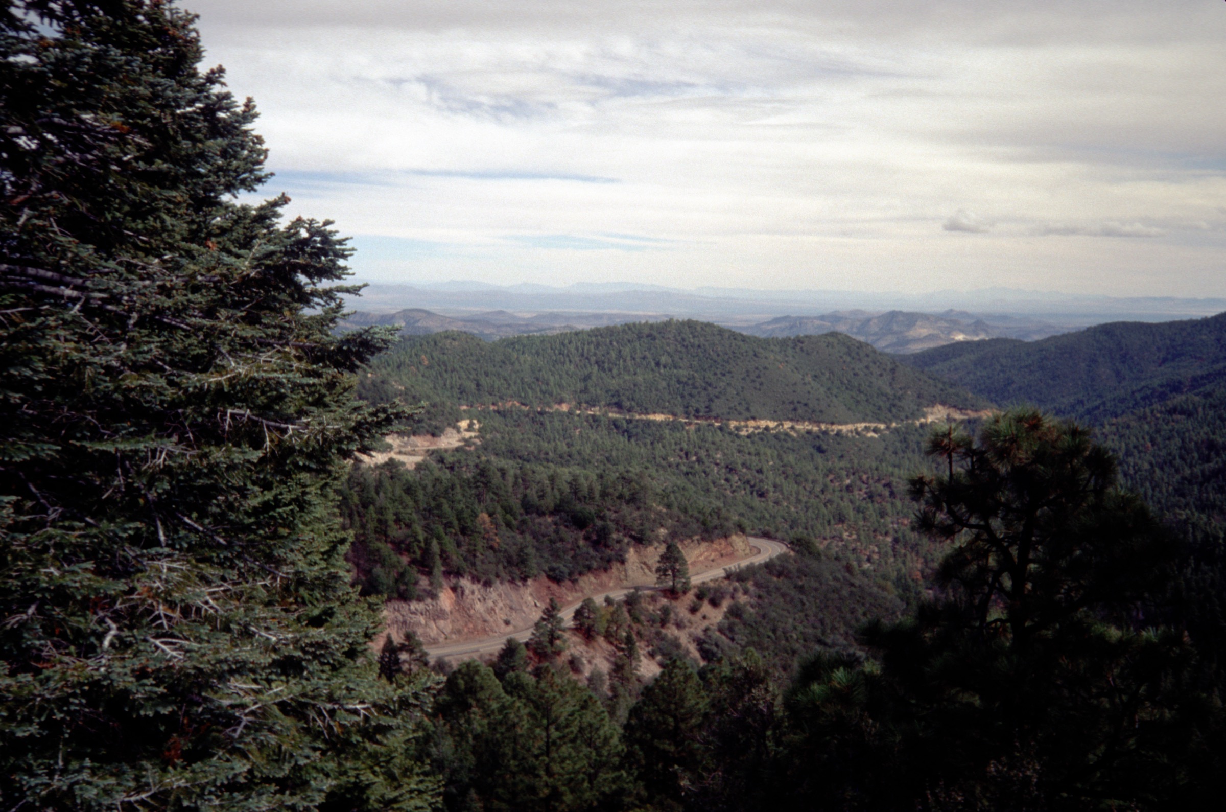
Regional overview
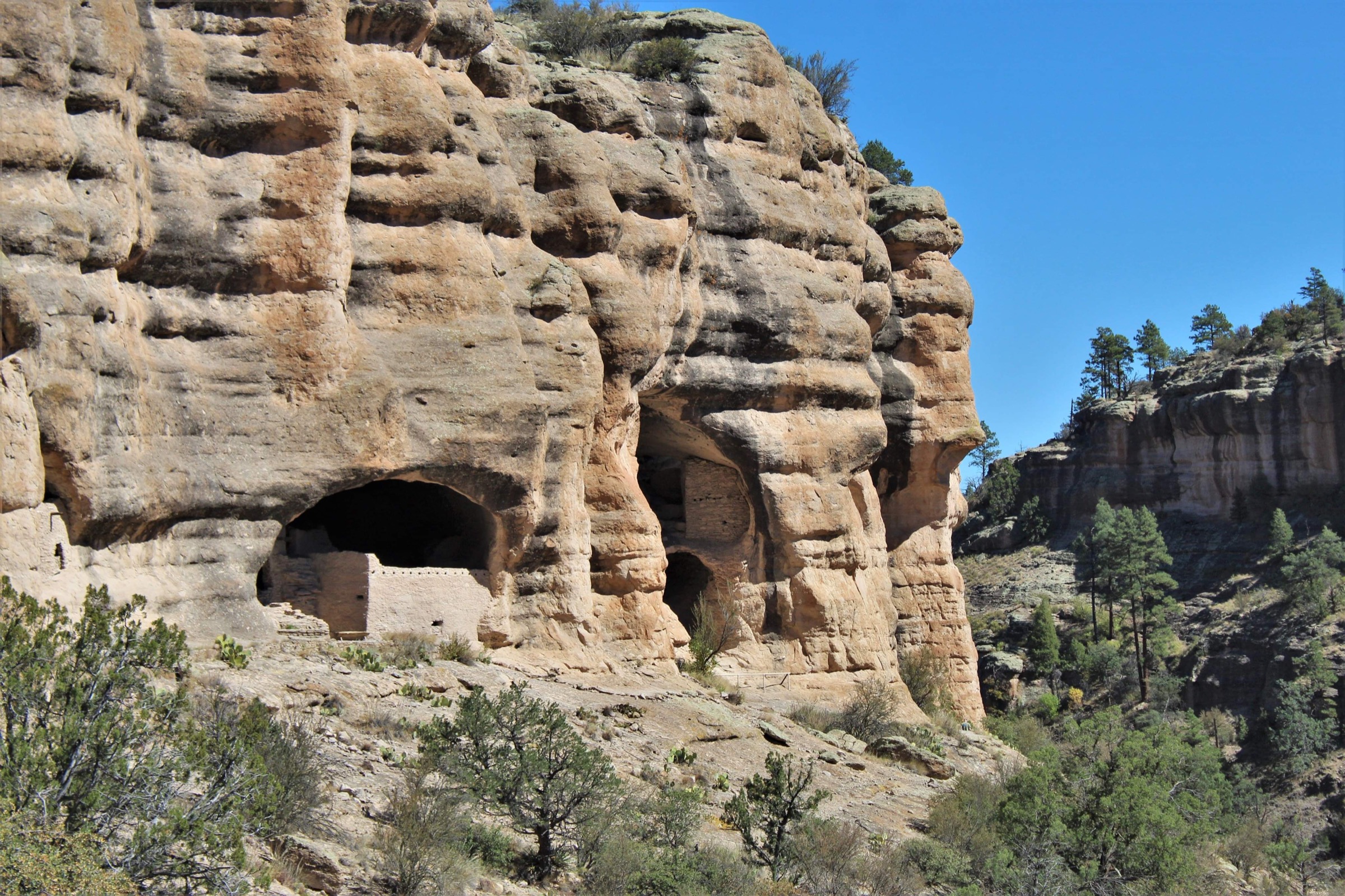
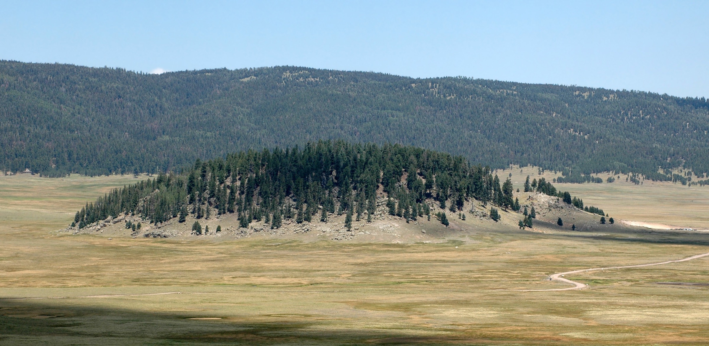
The Black Range is a remote north–south mountain chain in southwestern New Mexico, lying mostly within Gila National Forest and forming the backbone of the Aldo Leopold Wilderness. The range is less developed than most Southwestern sky islands: trails are long, water is scarce, roads can be rough, and navigation is a serious part of the walking character. The U.S. Forest Service describes the Aldo Leopold Wilderness as protecting the roughest, wildest portions of one of New Mexico’s wildest corners, with elevations from about 1,830 m to 3,098 m and the Continental Divide running down the middle of the area.
The strongest day-hike pattern is not a dense set of maintained loops but a set of hard out-and-back or partial-wilderness routes from road-access points such as Emory Pass, McKnight, the Mimbres access, Black Canyon and East Canyon. Current Gila National Forest pages listed active alerts, fire restrictions and very high fire danger during this verification pass, so all hikes require current-condition checks before use.
See also: Sandia and Manzano Mountains · Sacramento Mountains, New Mexico.
Selection rationale
Five hikes cover the essential Black Range themes: the classic accessible high summit from Emory Pass (Hillsboro Peak), the range high point (McKnight Mountain), a Continental Divide access route (CDNST / Mimbres Access Trail #741), a remote canyon route (Black Canyon Trail #94), and a high canyon / aspen approach (East Canyon / Quaking Aspen Trails #93 / #86). Official Gila National Forest and Forest Service wilderness pages were prioritised. Several route statistics remain unresolved because official pages identify trailheads and trails but do not publish full day-hike statistics; those are flagged in the snapshots below.
Summary
| # | Hike | Trailhead | Route type | Distance | Gain | Max elevation | Difficulty |
|---|---|---|---|---|---|---|---|
| 1 | Hillsboro Peak via Emory Pass (#79) | Emory Pass #79 Trailhead, NM 152 | Out-and-back summit | c. 16.1 km | Unresolved | c. 3,052–3,054 m | Difficult |
| 2 | McKnight Mountain via #79 | McKnight #79 Trailhead area | Out-and-back summit | c. 16.1 km | Unresolved | 3,098 m | Difficult |
| 3 | CDNST / Mimbres Access Trail #741 | CDNST/Mimbres Access #741 Trailhead | Out-and-back access | 12.9 km return (4 mi one way) | Unresolved | Unresolved | Moderate–difficult |
| 4 | Black Canyon Trail #94 | Lower Black Canyon Campground | Out-and-back canyon | Unresolved; turnaround-based | Unresolved | Start 2,052 m | Moderate–difficult |
| 5 | East Canyon / Quaking Aspen (#93 / #86) | East Canyon #93 Trailhead | Out-and-back or partial linkup | Unresolved | Unresolved | Unresolved | Moderate–difficult |
1. Hillsboro Peak via Emory Pass and Black Range Crest Trail #79

Snapshot
Itinerary
From Emory Pass, enter the Aldo Leopold Wilderness on Black Range Crest Trail #79 and follow the crest north toward Hillsboro Peak. The route climbs through high forest and ridge country to the historic lookout summit, then returns by the same trail.
Why it is essential
Hillsboro Peak from Emory Pass is the Black Range’s classic accessible high summit day and the best single introduction to the Aldo Leopold crest.
Equipment
- Map, compass and GPS with offline trail data
- 3 L water or more — no reliable water on the crest
- Food for a long day
- Sun protection and a wind / rain layer
- Emergency kit including bivy shelter for the remote crest
Hazards and notes
- Scarce or absent water for the entire crest.
- Possible faint trail sections and deadfall through burn-affected forest.
- High-elevation weather and afternoon monsoon lightning on the exposed summit ridge.
- Remote rescue — cell service unlikely.
- Forest Service Emory Pass page states no pass and no fee; no restrooms or potable water at the trailhead.
2. McKnight Mountain via McKnight #79 Trailhead / Black Range Crest
Snapshot
Itinerary
From the McKnight #79 Trailhead, follow Black Range Crest Trail #79 toward McKnight Mountain. The summit is a broad, forested high ridge with rocky viewpoints. Return by the same route unless a longer shuttle route is planned.
Why it is essential
McKnight Mountain is the highest point in the Black Range — the natural high-point objective for a day-hike catalogue even though official public route data is sparse.
Equipment
- Map, compass and GPS with offline route
- Robust water carry (3 L or more)
- Food and layers
- Storm protection
- Emergency kit — bailout options are limited
Hazards and notes
- Remote access with an unresolved road condition to the trailhead.
- Faint or underused trail sections and deadfall likely on the crest.
- Scarce water and exposed high-elevation storms.
- Limited bailout options — leave an itinerary.
3. CDNST / Mimbres Access Trail #741

Snapshot
Itinerary
From the CDNST / Mimbres Access #741 Trailhead, follow the access trail toward the Mimbres Trail #77 and the Continental Divide National Scenic Trail. Return from the Divide / trail junction area or from a conservative turnaround if conditions are poor.
Why it is essential
This is the most direct day-hike representation of the Black Range’s Continental Divide identity without committing to a long backpacking section.
Equipment
- Map or GPS
- 2.5–3 L water
- Sun protection and layers
- Food
- Emergency kit
Hazards and notes
- Scarce water and remote access.
- Faint trail risk and possible deadfall.
- Lightning risk on the exposed Divide.
- Heat at lower elevations in summer.
4. Black Canyon Trail #94 from Lower Black Canyon Campground
Snapshot
Itinerary
Drive to Lower Black Canyon Campground if current road and stream-crossing conditions allow. Begin on Trail #94 at the rear of the campground and hike up Black Canyon, turning around based on time, water, weather and trail condition.
Why it is essential
Black Canyon gives a canyon-based counterpoint to the high crest routes and shows the remote, rough, post-fire reality of Black Range wilderness access.
Equipment
- High-clearance 4WD for the access road, especially through Rocky Canyon
- Map or GPS
- 2.5–3 L water — no potable water at the campground
- Footwear suitable for rough canyon tread
- Rain shell and flash-flood awareness
- Emergency kit
Hazards and notes
- Rough FR 150 access and a steep stream crossing to reach the lower campground.
- Potential flood damage after the 2022 Black Fire and 2023 monsoon season.
- Washouts possible during monsoon season.
- No potable water at the campground or on the trail.
5. East Canyon / Quaking Aspen Trails #93 / #86
Snapshot
Itinerary
From the East Canyon #93 Trailhead, use East Canyon Trail #93 and, where appropriate, Quaking Aspen Trail #86 for a high canyon / aspen-forest day hike. Because official public statistics were not found in this pass, finalise the route with the Aldo Leopold Wilderness map, current Forest Service conditions and field-checked turnaround points before travel.
Why it is essential
This is the set’s high-canyon and aspen route, balancing the crest summits with one of the Black Range’s forested interior trailheads.
Equipment
- Map or GPS with navigation backup
- 2.5–3 L water
- Food and storm layers
- Emergency kit
Hazards and notes
- Faint trail risk and possible deadfall.
- Scarce water and remote access.
- Lightning risk.
- Limited rescue options — leave an itinerary.
Further reading
| Source | URL |
|---|---|
| USFS — Emory Pass #79 Trailhead | fs.usda.gov |
| USFS — Aldo Leopold Wilderness Area | fs.usda.gov |
| USFS — Lower Black Canyon Campground | fs.usda.gov |
| USFS — Gila National Forest maps and guides | fs.usda.gov |
| USFS — Gila National Forest home / alerts | fs.usda.gov |
| Continental Divide Trail Coalition | cdtcoalition.org |
| Wikipedia — Aldo Leopold Wilderness | en.wikipedia.org |
| Wikipedia — McKnight Mountain | en.wikipedia.org |
| Wikimedia Commons — Category: Black Range (New Mexico) | commons.wikimedia.org |
| OpenStreetMap (ODbL 1.0) | openstreetmap.org |