Regional overview
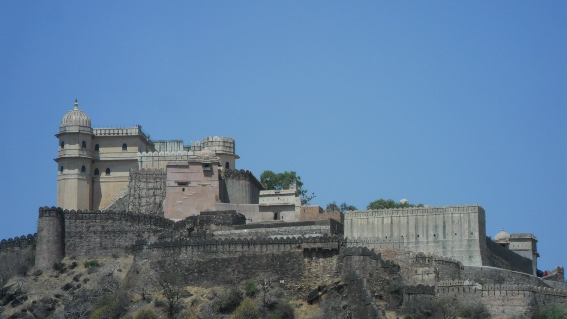
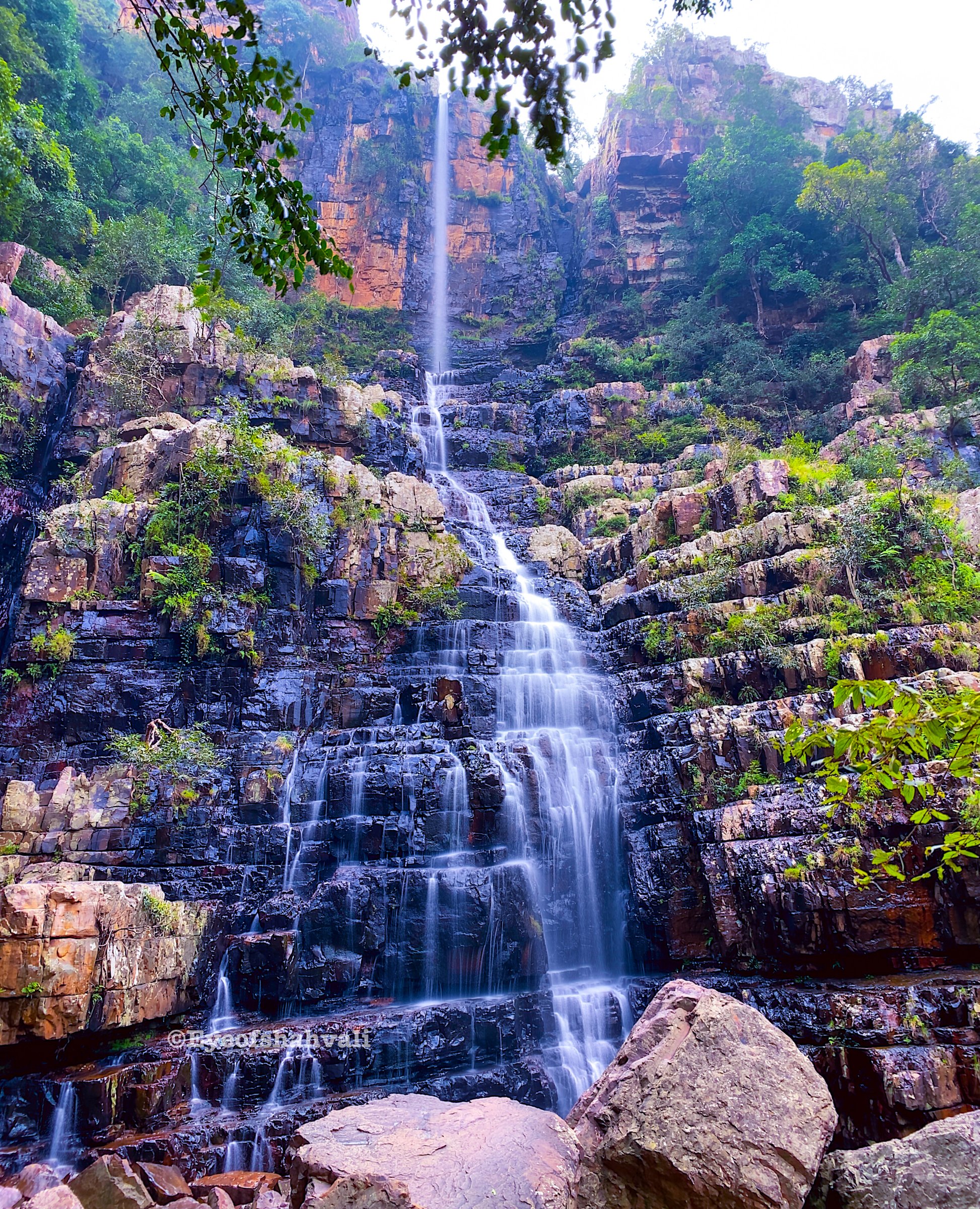
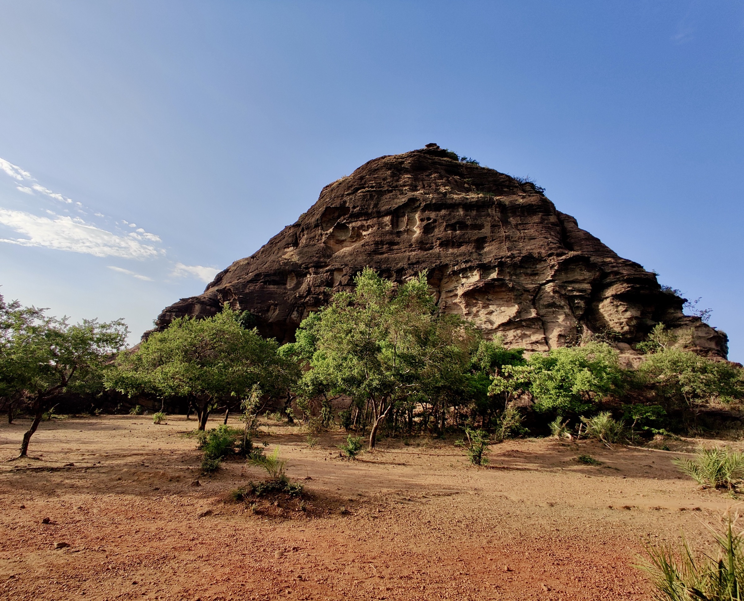
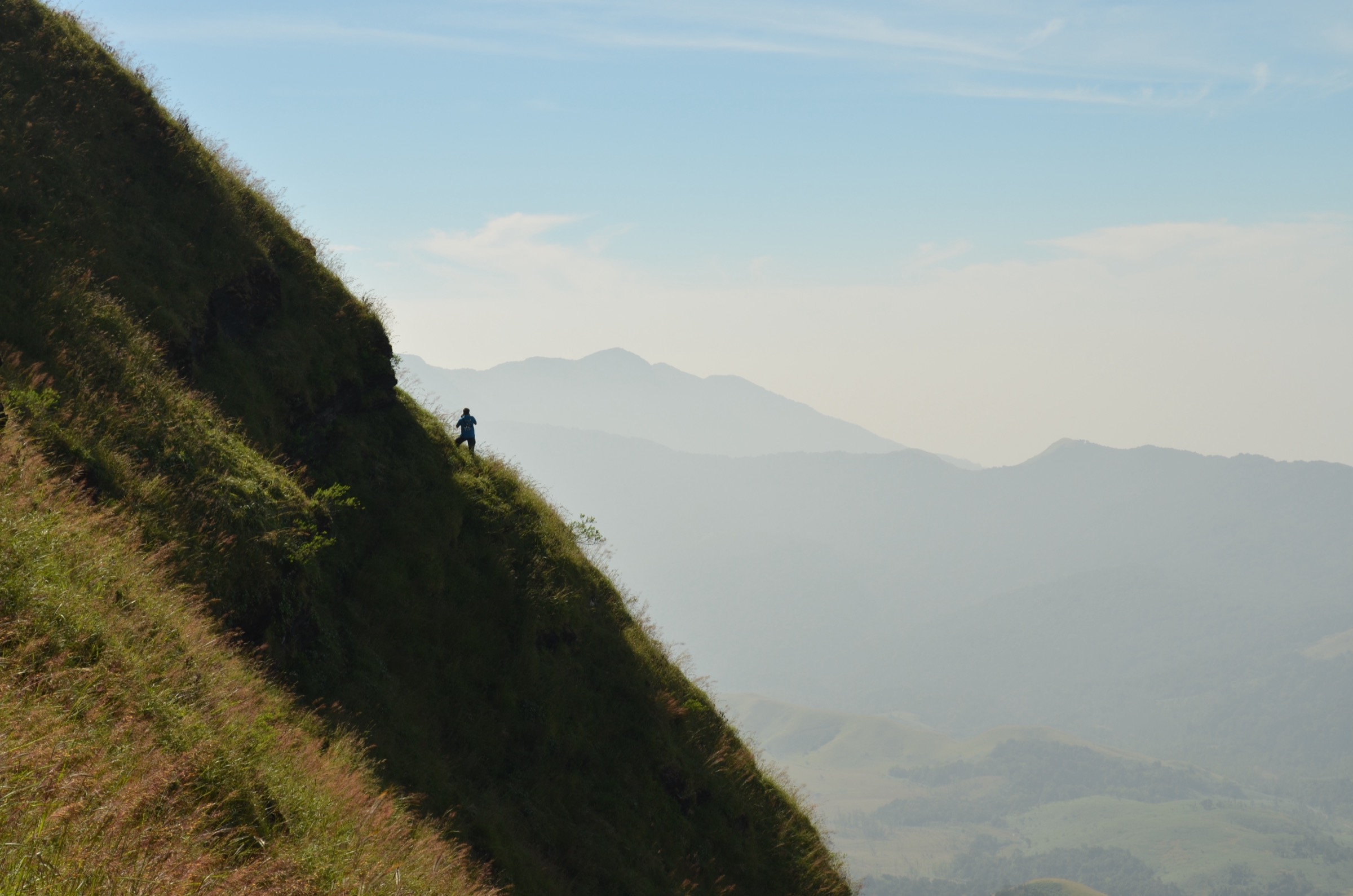
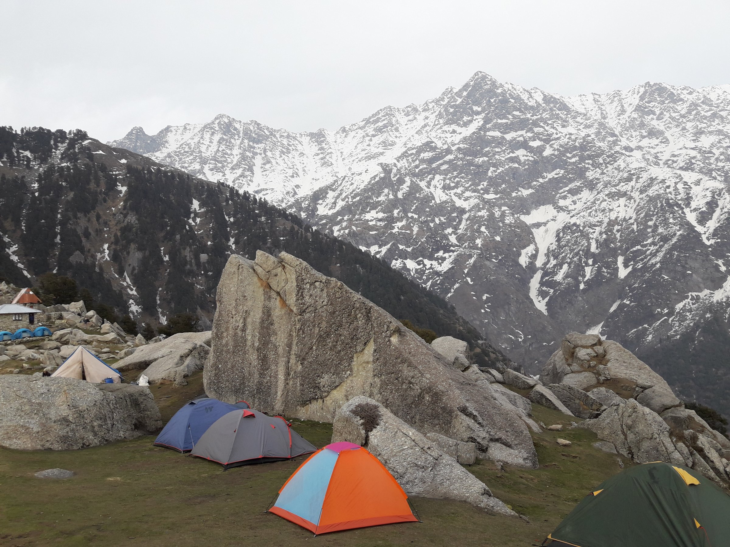
The Indian Western Himalaya covers Kashmir, Himachal Pradesh, and Uttarakhand: high meadows, pilgrim summits, glacier approaches, and forested foothill ridges. These hikes are day objectives, but several require travel/acclimatisation days to reach the trailhead. High routes can be snowbound outside their normal season.
Distances and elevations marked approximate need later GIS confirmation before travel.
Selection rationale
The five hikes span the strongest Western Himalaya day themes: the classic Dhauladhar viewpoint at Triund, the Garhwal pilgrim summit of Tungnath-Chandrashila, the UNESCO Valley of Flowers, the Manali glacier-source day at Beas Kund, and the Kashmir glacier walk at Thajiwas above Sonamarg.
Summary table
| # | Hike | Country | Route type | Distance | Gain | Max elevation | Difficulty |
|---|---|---|---|---|---|---|---|
| 1 | Triund Trek | India | Out-and-back | Approx. 18 km round trip from McLeod Ganj | Approx. 1,000 m | 2,842 m | Moderate-hard |
| 2 | Chopta to Tungnath and Chandrashila | India | Out-and-back | Approx. 10 km | Approx. 1,100-1,150 m | Approx. 4,000 m | Moderate-hard |
| 3 | Valley of Flowers from Ghangaria | India | Out-and-back valley | Approx. 8-10 km | Approx. 300-500 m | Approx. 3,650-3,700 m | Moderate |
| 4 | Beas Kund from Dhundi / Solang | India | Out-and-back | Approx. 16-18 km | Approx. 850-1,000 m | Approx. 3,700 m | Moderate-hard |
| 5 | Sonamarg to Thajiwas Glacier | India | Out-and-back | Approx. 6-14 km | Approx. 300-500 m | Approx. 3,000-3,200 m | Easy-moderate |
1. Triund Trek
Snapshot
Itinerary
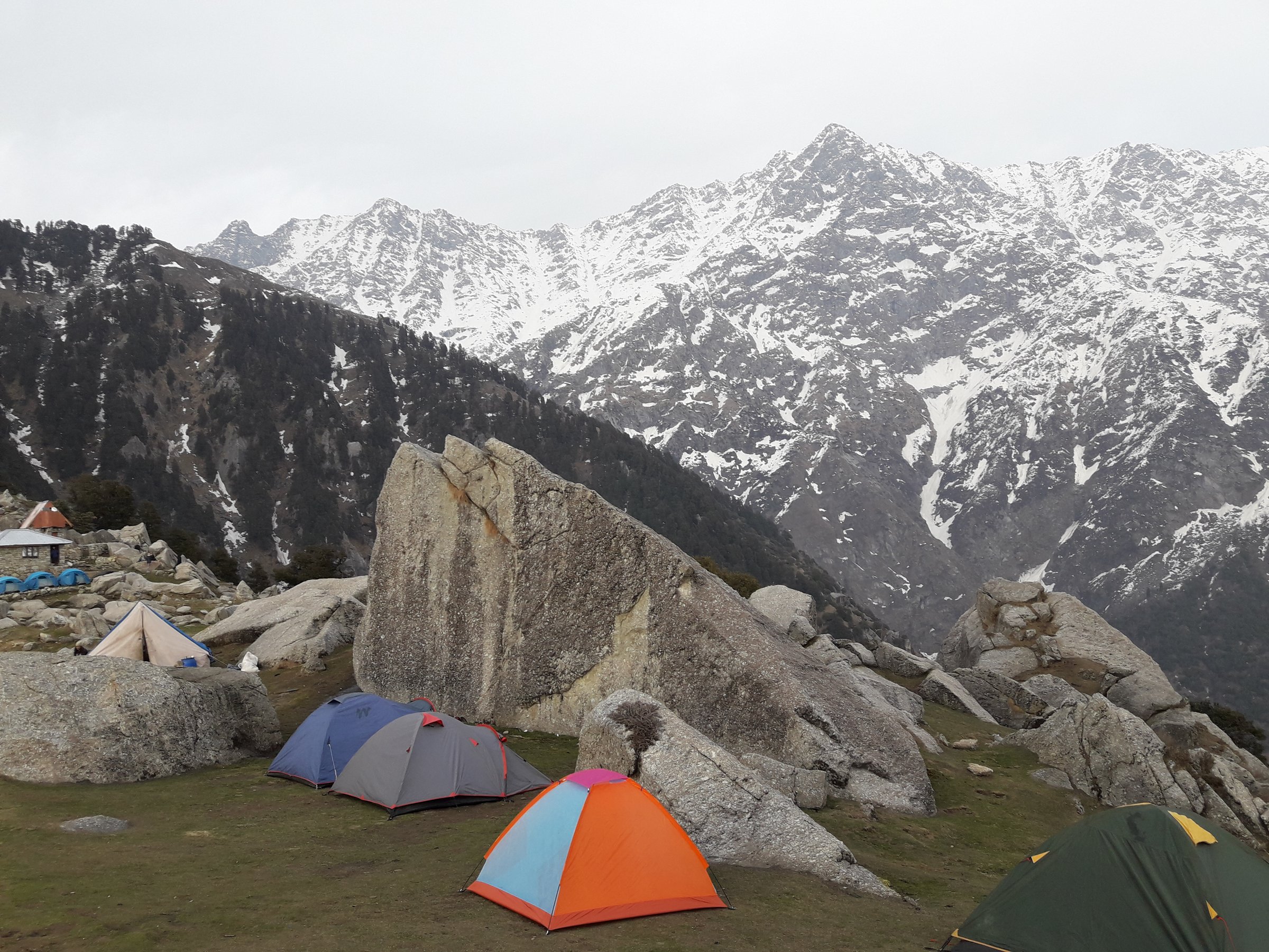
Climb the well-defined oak/deodar/rhododendron trail above McLeod Ganj/Dharamkot to the Triund meadow and forest rest house area, then descend the same route.
Why it is essential
The classic short Dhauladhar hike: big Himalayan views from a reachable hill-station base.
Equipment
Hiking shoes, warm layer, rain shell, water, poles.
Hazards and notes
Last “22 curves” section is demanding; crowding, weather changes, snow/ice in winter.
GPX / KML links
| Source | URL | Format / access | Reuse status |
|---|---|---|---|
| Himachal Ecotourism — Triund | hpecotourism.com | Source page | Site terms apply; no direct GPX |
| AllTrails — Triund Hill Trek | alltrails.com | Recorded track | GPX terms/reuse unresolved |
Further reading
2. Chopta to Tungnath and Chandrashila
Snapshot
Itinerary
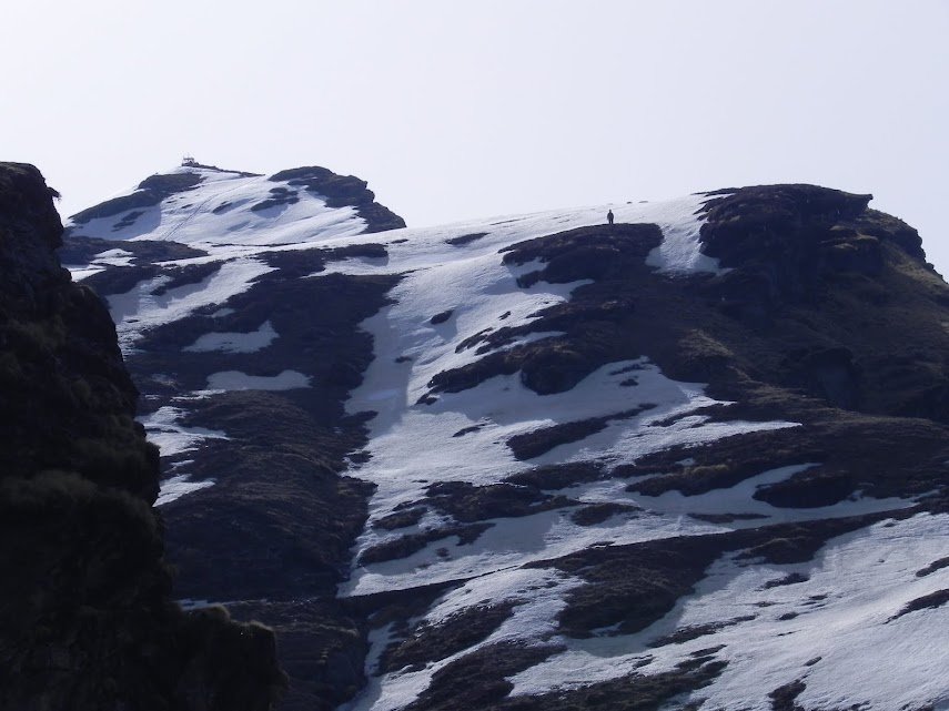
Walk the paved/stone pilgrim trail from Chopta to Tungnath Temple, then continue steeply to Chandrashila summit for a high Himalayan viewpoint before returning the same way.
Why it is essential
A short but high summit walk combining Panch Kedar pilgrimage, alpine meadows, and one of Garhwal’s finest accessible viewpoints.
Equipment
Boots, warm/waterproof layers, poles, sun protection, microspikes in snow season.
Hazards and notes
Altitude, snow/ice, lightning/exposure on summit, crowding during pilgrimage periods.
GPX / KML links
| Source | URL | Format / access | Reuse status |
|---|---|---|---|
| Uttarakhand Tourism — Chopta-Chandrashila Trek | uttarakhandtourism.gov.in | Source page | Site terms apply; no direct GPX |
| Uttarakhand Tourism — Chopta Chandrashila itinerary PDF | uttarakhandtourism.gov.in | Site terms apply |
Further reading
- Uttarakhand Tourism — Chopta-Chandrashila Trek
- Uttarakhand Tourism — Chopta Chandrashila itinerary PDF
3. Valley of Flowers from Ghangaria
Snapshot
Itinerary
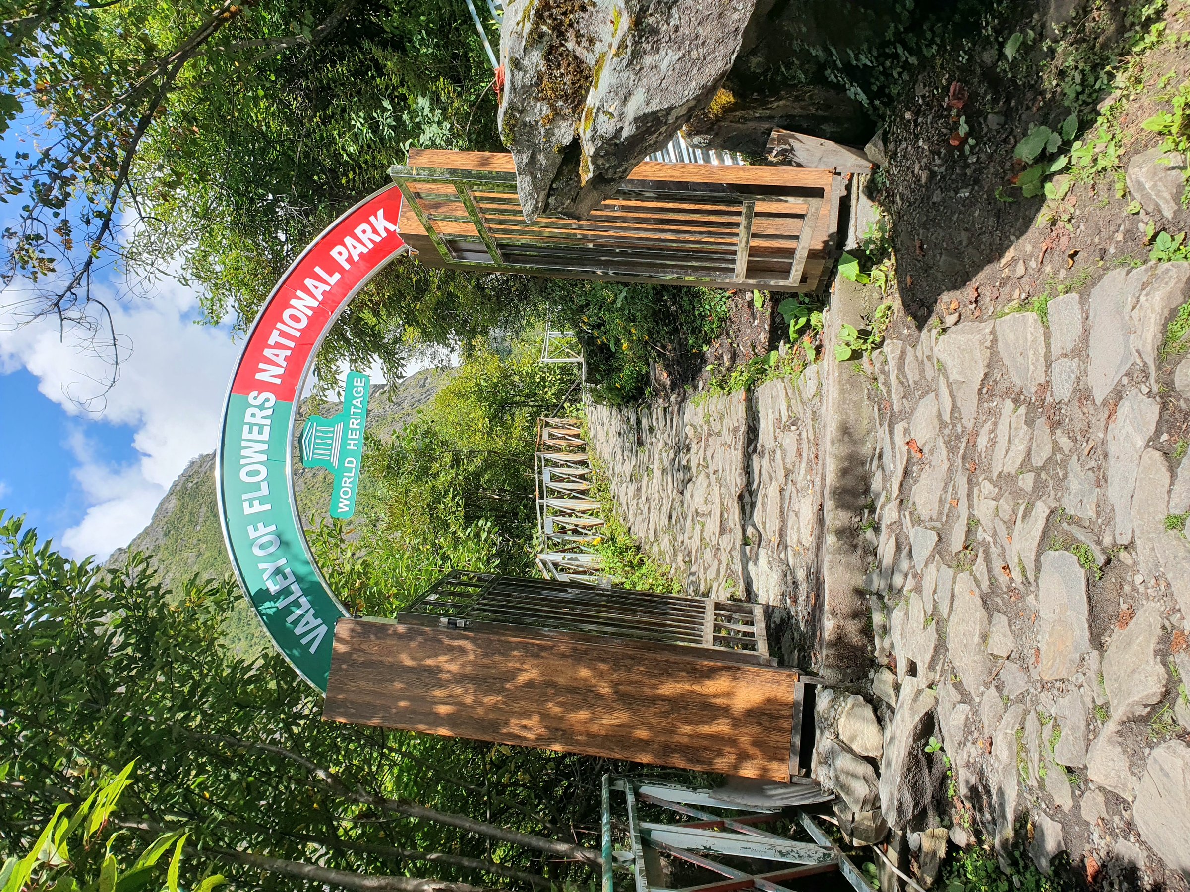
From Ghangaria, enter Valley of Flowers National Park, walk into the Pushpawati valley meadows as far as time/permit/weather allow, then return to Ghangaria the same day. Access to Ghangaria itself requires a prior approach trek from Govindghat/Pulna.
Why it is essential
UNESCO World Heritage alpine-flower landscape and one of India’s most famous botanical Himalayan walks.
Equipment
Waterproof boots, rain shell, warm layer, permit/ID, water; no camping inside park.
Hazards and notes
Monsoon rain, landslides on approach, cold/wet exposure, altitude.
GPX / KML links
| Source | URL | Format / access | Reuse status |
|---|---|---|---|
| Uttarakhand Tourism — Valley of Flowers | uttarakhandtourism.gov.in | Source page | Site terms apply; no direct GPX |
| Uttarakhand Tourism — Valley of Flowers trek | uttarakhandtourism.gov.in | Source page | Site terms apply |
Further reading
4. Beas Kund from Dhundi / Solang
Snapshot
Itinerary
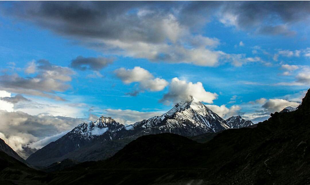
Walk from the Solang/Dhundi side through the upper Beas valley toward the meadows below major Pir Panjal/Dhauladhar views and on to Beas Kund, the traditional source area of the Beas River, then return.
Why it is essential
A classic Manali glacier-source day objective with alpine meadows and high mountain walls close to a major base town.
Equipment
Boots, poles, warm/waterproof layers, sun protection, navigation, early start.
Hazards and notes
Altitude, snow/stream crossings, weather changes, route-finding beyond meadows.
GPX / KML links
| Source | URL | Format / access | Reuse status |
|---|---|---|---|
| HPTDC — Beas Kund trek | hptdc.in | Source page | Site terms apply; no direct GPX |
| Potala Himalaya — Beas Kund trek | potala-himalaya.com | Source page | Site terms apply |
Further reading
5. Sonamarg to Thajiwas Glacier
Snapshot
Itinerary
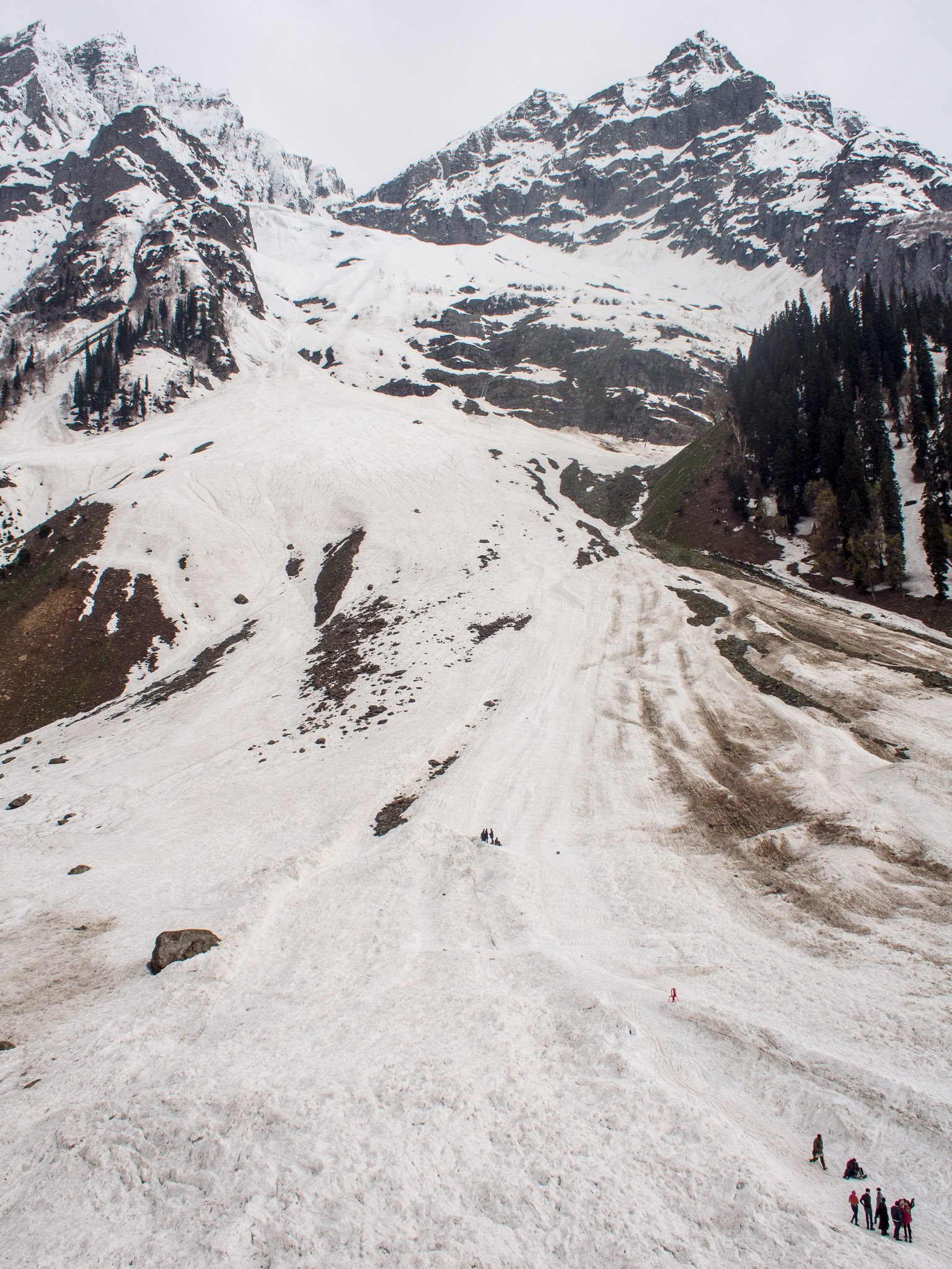
Walk from Sonamarg through meadows and pine-fringed terrain toward Thajiwas Glacier, turning around before unstable glacier ice or rockfall zones.
Why it is essential
Kashmir’s most accessible glacier day walk and a classic Sonamarg experience.
Equipment
Walking shoes/boots, warm layer, rain shell, sun protection.
Hazards and notes
Glacier-edge instability, snow bridges, rockfall, pony/ATV traffic, rapidly changing mountain weather.
GPX / KML links
| Source | URL | Format / access | Reuse status |
|---|---|---|---|
| Kashmir Tourism — Sonamarg | kashmirtourismofficial.com | Source page | Site terms apply; no direct GPX |
| Wikiloc — Thajiwas Glacier Sonamarg | wikiloc.com | Recorded track | Terms/reuse unresolved |
Further reading
Further reading
| Source | URL |
|---|---|
| Himachal Ecotourism — Triund | hpecotourism.com |
| AllTrails — Triund Hill Trek | alltrails.com |
| Uttarakhand Tourism — Chopta-Chandrashila Trek | uttarakhandtourism.gov.in |
| Uttarakhand Tourism — Chopta Chandrashila itinerary PDF | uttarakhandtourism.gov.in |
| Uttarakhand Tourism — Valley of Flowers | uttarakhandtourism.gov.in |
| Uttarakhand Tourism — Valley of Flowers trek | uttarakhandtourism.gov.in |
| HPTDC — Beas Kund trek | hptdc.in |
| Potala Himalaya — Beas Kund trek | potala-himalaya.com |
| Kashmir Tourism — Sonamarg | kashmirtourismofficial.com |
| Wikiloc — Thajiwas Glacier Sonamarg | wikiloc.com |