Regional overview
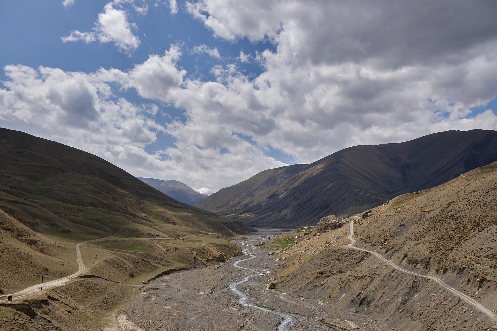
The Greater Caucasus is a long, high, glaciated mountain chain stretching between the Black Sea and the Caspian. This entry focuses on non-technical day hikes in the currently more accessible southern and eastern Greater Caucasus: Kazbegi, Khevi, Khevsureti, Svaneti, and the high villages of northern Azerbaijan.
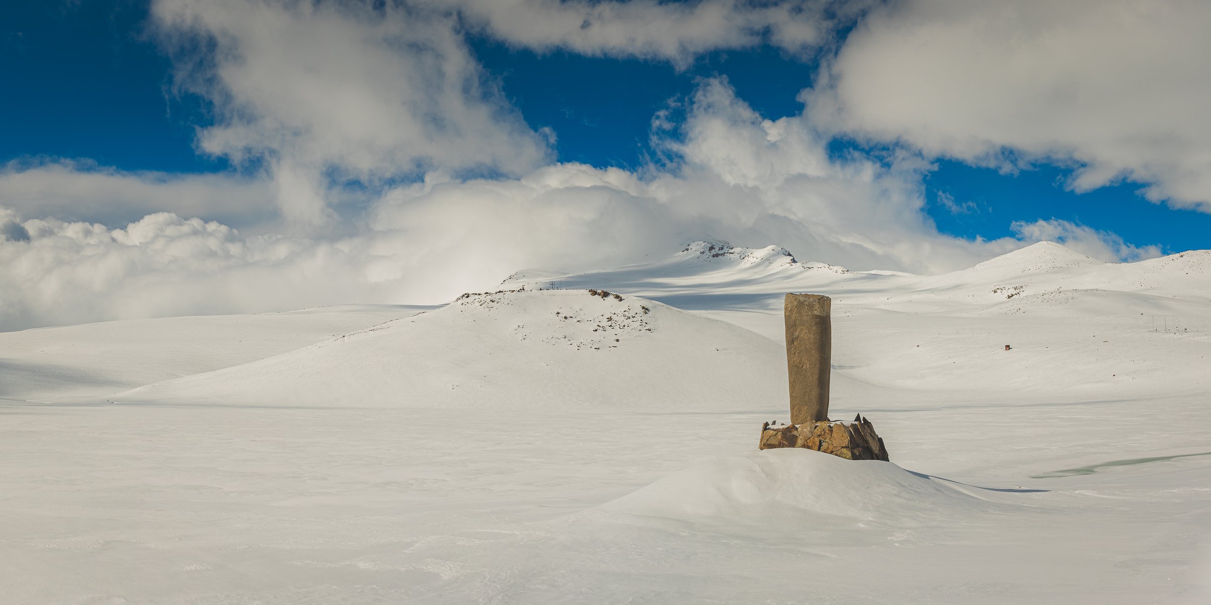
The walking character is varied: steep glacier-view ascents below Kazbek, jagged limestone scenery around Chaukhi, high Svaneti lake-and-glacier routes below Ushba and Shkhara, and open shepherd-country traverses between Azerbaijani mountain villages. The normal hiking season is late spring to autumn at lower elevations, but higher passes such as Chaukhi are best treated as July–September objectives because snow can linger.
Access is mainly through Stepantsminda, Juta, Mestia, Ushguli, Guba, and Khinalig. Several trailheads require taxis, 4x4s, or pre-arranged transfers. Russian North Caucasus candidates were not included in this publication-ready list because current UK travel advice advises against all travel to Russia; official advice also flags specific no-go or restricted-risk areas in Georgia and Azerbaijan, so local travel advice should be checked before publication.
Selection rationale
These five hikes give a balanced Greater Caucasus sample: one iconic Kazbek glacier route, one high pass and coloured-lake traverse, one classic Svaneti viewpoint hike, one glacier-foreland walk from Ushguli, and one Azerbaijani high-village route. Multi-day treks, glacier travel, mountaineering routes, and politically or logistically problematic routes were excluded.
Summary table
| # | Hike | Country | Route type | Distance | Gain | Max elevation | Difficulty |
|---|---|---|---|---|---|---|---|
| 1 | Gergeti Glacier via Gergeti Trinity Church | Georgia | Out-and-back | 20.4 km | 1,552 m | 3,265 m | Hard |
| 2 | Juta to Roshka via Chaukhi Pass and Abudelauri Lakes | Georgia | Point-to-point | 17.5–17.8 km | 1,260–1,283 m | 3,341 m | Moderate–hard |
| 3 | Mestia to Koruldi Lakes | Georgia | Out-and-back | 20 km | 1,400 m | c. 2,850 m | Moderate–hard |
| 4 | Ushguli to Shkhara Glacier | Georgia | Out-and-back | 16 km | 540 m | 2,390–2,430 m | Easy–moderate |
| 5 | Khinalig to Galakhudat | Azerbaijan | Point-to-point | 8.2 km | 370 m | 2,300 m | Easy–moderate |
Note on route files. Route links are source references and may be replaced with project-owned GPX/KML files later.
1. Gergeti Glacier via Gergeti Trinity Church

Snapshot
Itinerary
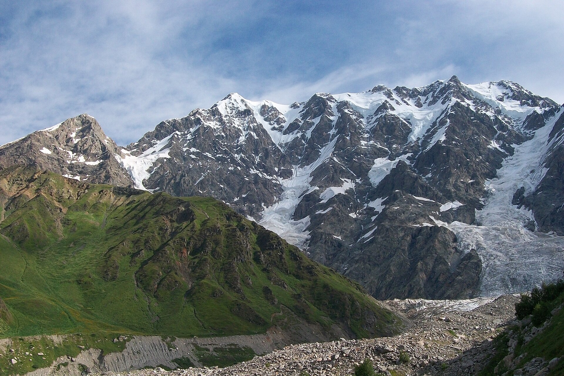
The route starts in Stepantsminda and climbs through Gergeti village towards Gergeti Trinity Church, one of the best-known landmarks below Mount Kazbek. From the church area, the path continues into open alpine terrain towards the Sabertse / Altihut side of the valley, reaching the foot area of Gergeti Glacier before returning by the same route. Caucasus Trekking gives the full round trip as 20.4 km with 1,552 m of ascent and a maximum elevation of 3,265 m.
Why it is essential
This is the classic Kazbegi day hike: a major cultural landmark, a high Caucasus valley, and a close view of the Kazbek glacier system in one long route. It is demanding but remains a walking route in normal summer conditions when snow has retreated from the trail.
Equipment
- Sturdy boots
- Waterproof layer
- Warm layer
- Trekking poles
- Food
- At least 2 litres of water
- Sun protection
- Map/GPS
- Headtorch for a long day
- Microspikes or crampons may be needed if snow remains on the upper route
Hazards and notes
This is a strenuous high-altitude day with more than 1,500 m of ascent. Weather can build quickly around Kazbek, and cloud commonly obscures the summit later in the day. Early season snow can make the upper route much more serious. The route should not be treated as an invitation to walk on the glacier without mountaineering equipment and experience.
GPX / KML links
| Source | URL | Format | Notes |
|---|---|---|---|
| Caucasus Trekking — Gergeti Glacier | caucasus-trekking.com | GPX/KML buttons visible on page | Download source found; direct file URL unresolved. Include as the route-source link for now. |
| Caucasus Trekking — Kazbegi hike to glacier | caucasus-trekking.com | Route guide / source-map page | Used for route statistics and description. |
External links
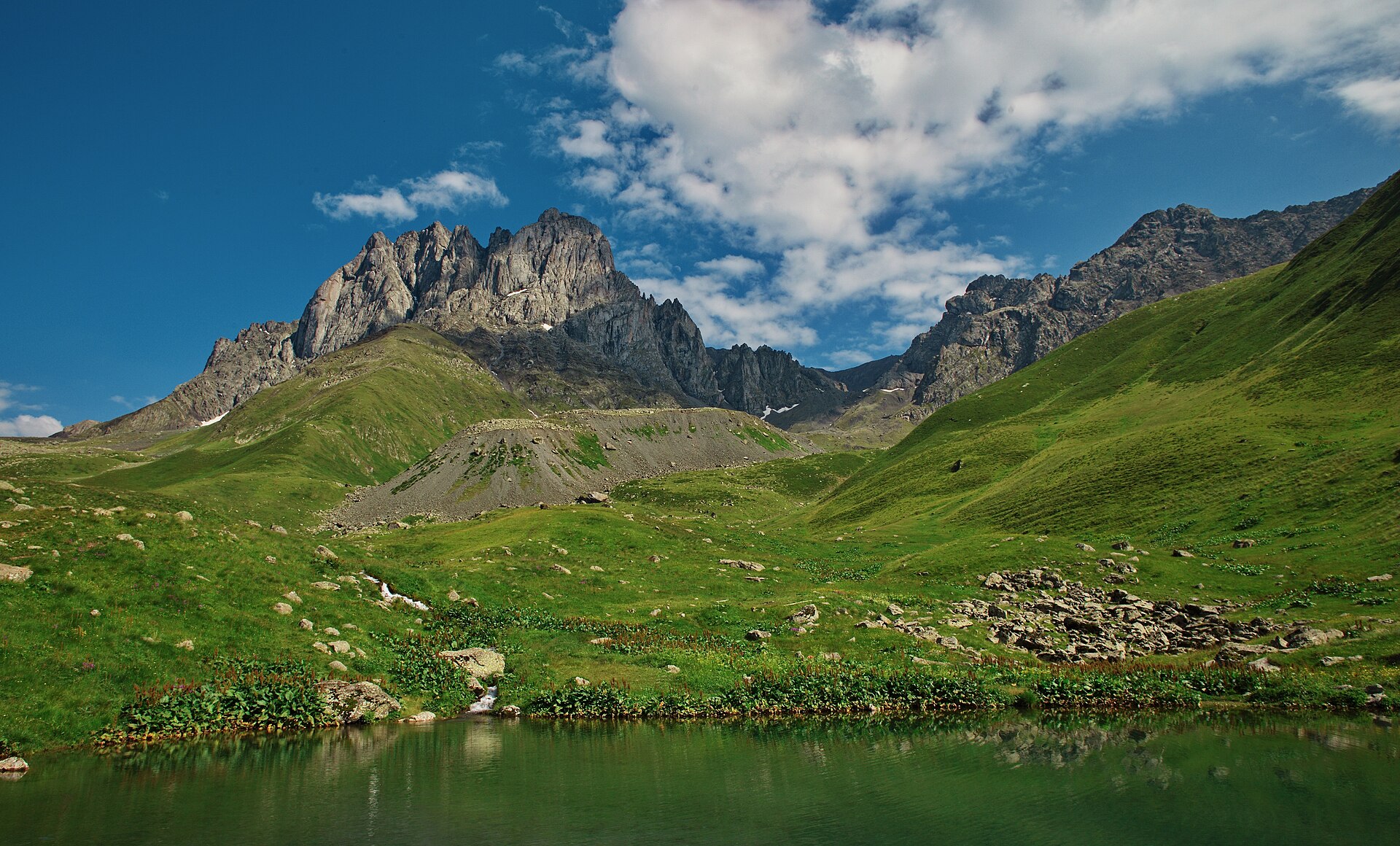
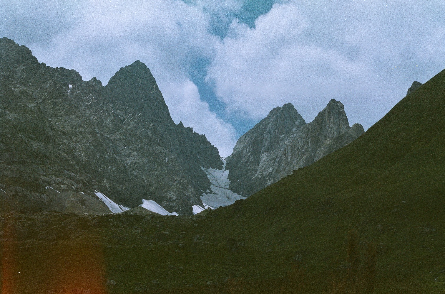
2. Juta to Roshka via Chaukhi Pass and Abudelauri Lakes
Snapshot
Itinerary
From Juta, the route follows the upper valley below the Chaukhi massif, passing Zeta Camp / Fifth Season and continuing towards the head of the valley. A river crossing without a bridge is noted on the route. The path then climbs more steeply to Chaukhi Pass at 3,341 m before descending towards the Abudelauri Lakes and Roshka. Caucasus Trekking lists the traverse as 17.8 km with 1,283 m of ascent and 1,360 m of descent; Going the Whole Hogg gives a closely matching 17.5 km variant with 1,260 m ascent and 1,425 m descent.
Why it is essential
This is one of the strongest non-technical high-pass walks in the Georgian Greater Caucasus. It links the “Georgian Dolomites” scenery of Chaukhi with the coloured Abudelauri Lakes and gives a true pass-crossing day rather than a simple out-and-back.
Equipment
- Sturdy boots
- Waterproof layer
- Warm layer
- Trekking poles
- Food
- Water
- Offline map/GPS
- Sun protection
- Snow equipment may be needed early or late in the season
- River-crossing strategy useful after rain or snowmelt
Hazards and notes
The pass is high, exposed to weather, and can hold snow. The Roshka-side descent is steep and loose in places. The route is long as a day hike and becomes more serious if transport at Roshka is not pre-arranged. Water availability is uneven, and the route should not be started in poor visibility unless navigation is reliable.
GPX / KML links
| Source | URL | Format | Notes |
|---|---|---|---|
| Caucasus Trekking — Juta to Roshka | caucasus-trekking.com | GPX/KML buttons visible on page | Download source found; direct file URL unresolved. Include as a route-source link for now. |
| Caucasus Trekking — Chaukhi | caucasus-trekking.com | Route guide / source-map page | Used for route statistics and description. |
| Going the Whole Hogg — Juta to Roshka via Chaukhi Pass | goingthewholehogg.com | GPX track / map download referenced | Secondary source with route statistics and GPX reference. |
| Wikiloc — Juta to Roshka via Chaukhi Pass | wikiloc.com | Route-track source | Useful for geometry cross-checking. |
External links
- Georgia Travel — Juta, Chaukhi, Abudelauri Lakes, Roshka
- Caucasus Trekking — Chaukhi
- Going the Whole Hogg — Juta to Roshka
- Wikiloc — Juta to Roshka via Chaukhi Pass
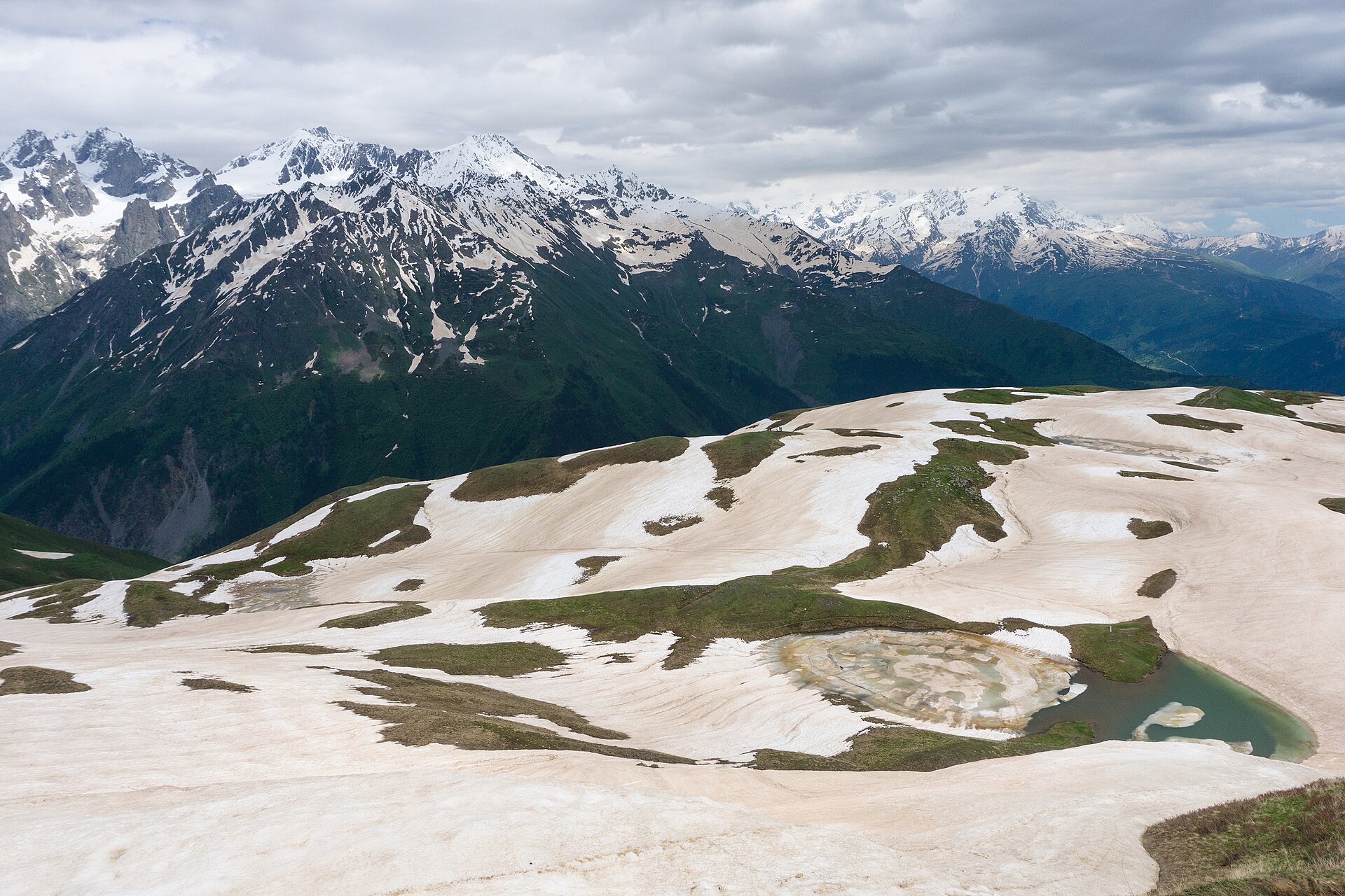
3. Mestia to Koruldi Lakes
Snapshot
Itinerary
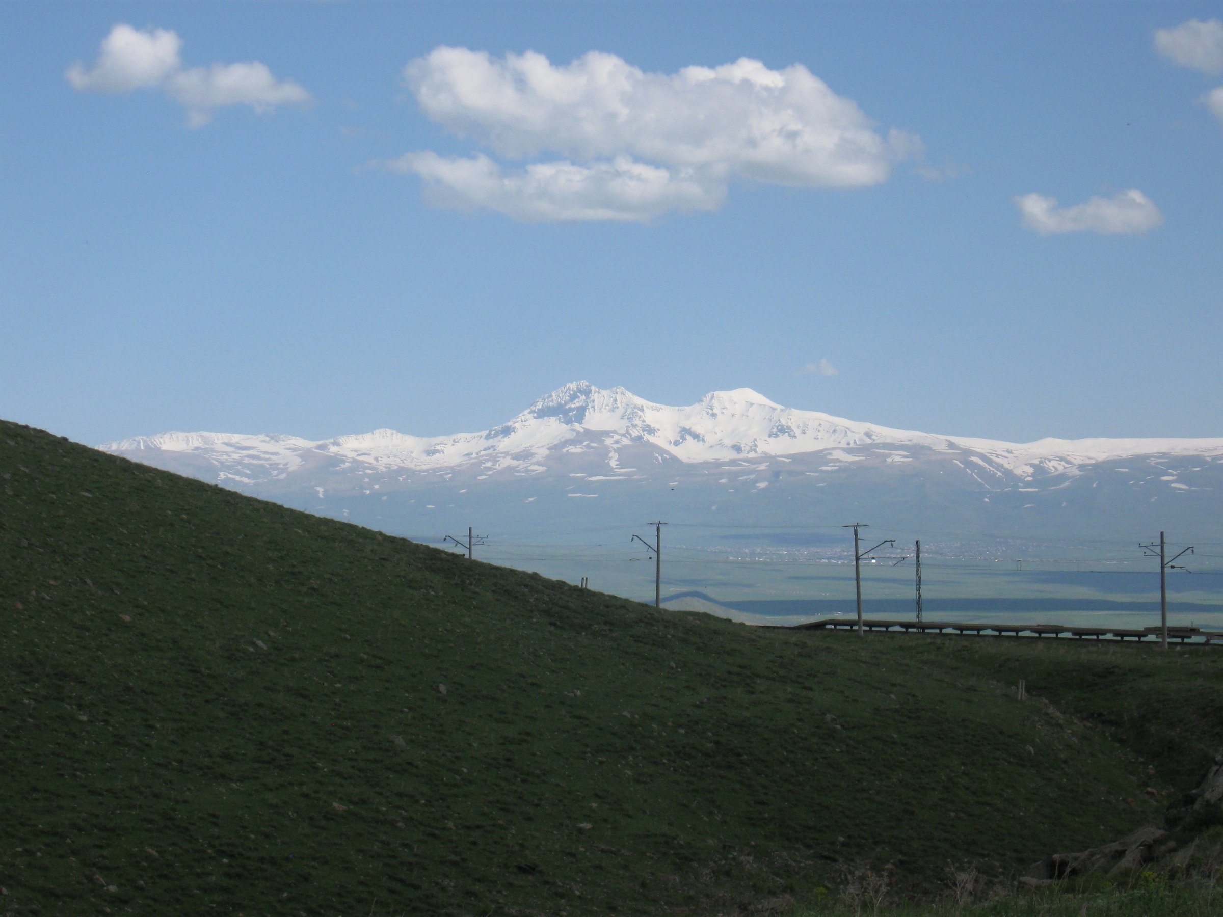
The route climbs from Mestia towards the Mestia Cross / Tshakazagari viewpoint area, then continues by track and path into the alpine zone to Koruldi Lakes. Georgia Travel describes Koruldi as lying about 10 km from Mestia at around 2,850 m, with views across Enguri Valley and major Svaneti peaks including Shkhara, Tetnuldi, Ushba, and Laila. Caucasus Trekking gives the full walking route as a 20 km round trip with about 1,400 m of ascent and descent.
Why it is essential
Koruldi Lakes is the classic high viewpoint hike from Mestia. It gives a compact but strenuous introduction to Svaneti’s alpine scenery: lakes, open ridges, Svan towers below, and views towards Ushba and the main Caucasus crest.
Equipment
- Sturdy footwear
- Waterproof layer
- Warm layer
- Sun protection
- Food
- Water
- Map/GPS
- Trekking poles
- Additional traction may be needed in early season snow
Hazards and notes
The ascent is long and exposed to sun, wind, and afternoon weather. Fog can make navigation around the higher tracks less obvious. The route shares sections with 4x4 access tracks, so dust and vehicle traffic may be present in dry summer periods. Water and food should be carried from Mestia.
GPX / KML links
| Source | URL | Format | Notes |
|---|---|---|---|
| Caucasus Trekking — Koruldi Lakes | caucasus-trekking.com | GPX/KML buttons visible on page | Download source found; direct file URL unresolved. Include as a route-source link for now. |
| Caucasus Trekking — Hike to Koruldi Lakes | caucasus-trekking.com | Route guide / source-map page | Used for route statistics and description. |
External links
- Georgia Travel — Koruldi Lakes
- Georgian Travel Guide — Koruldi Lakes
- Caucasus Trekking — Hike to Koruldi Lakes
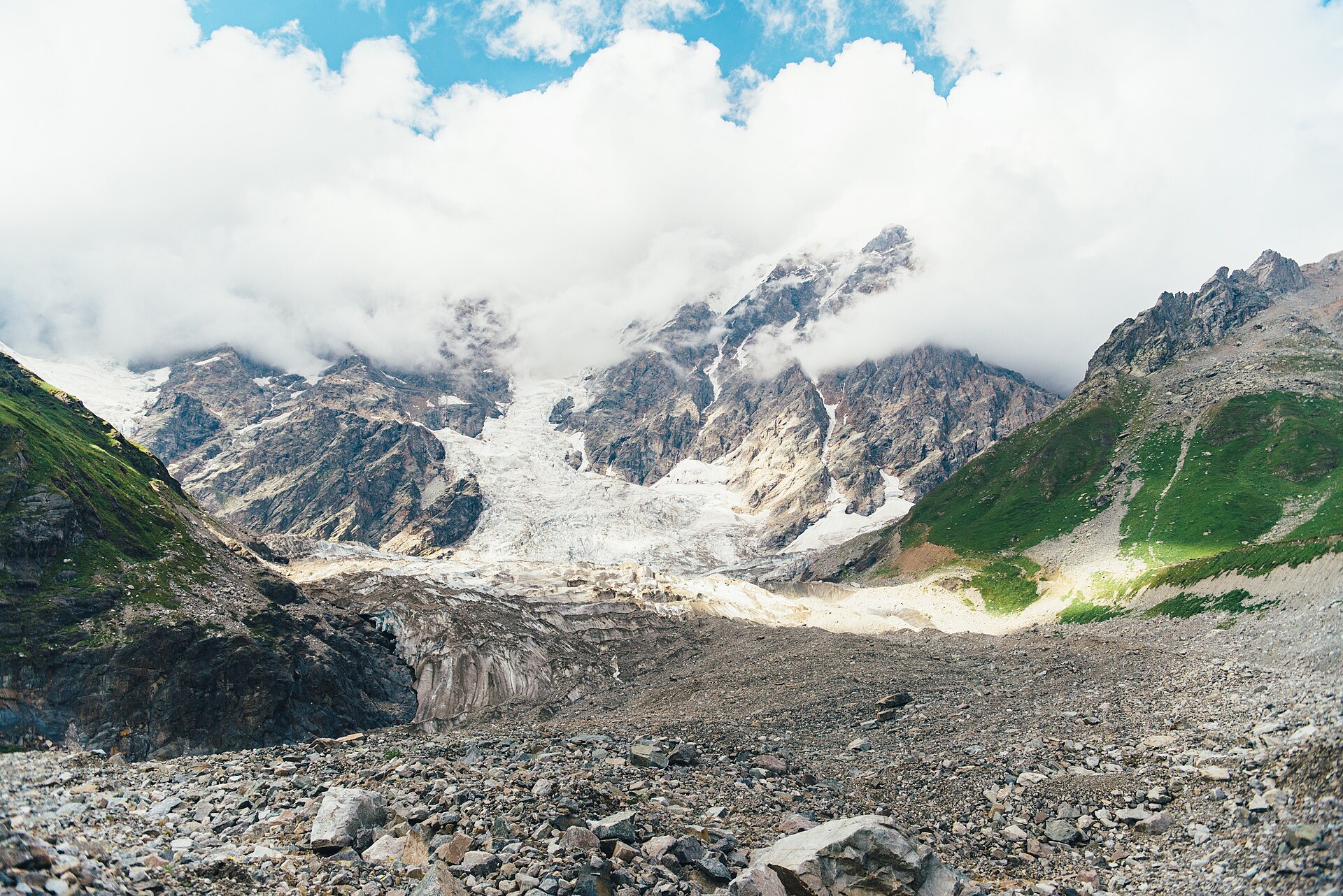
4. Ushguli to Shkhara Glacier
Snapshot
Itinerary
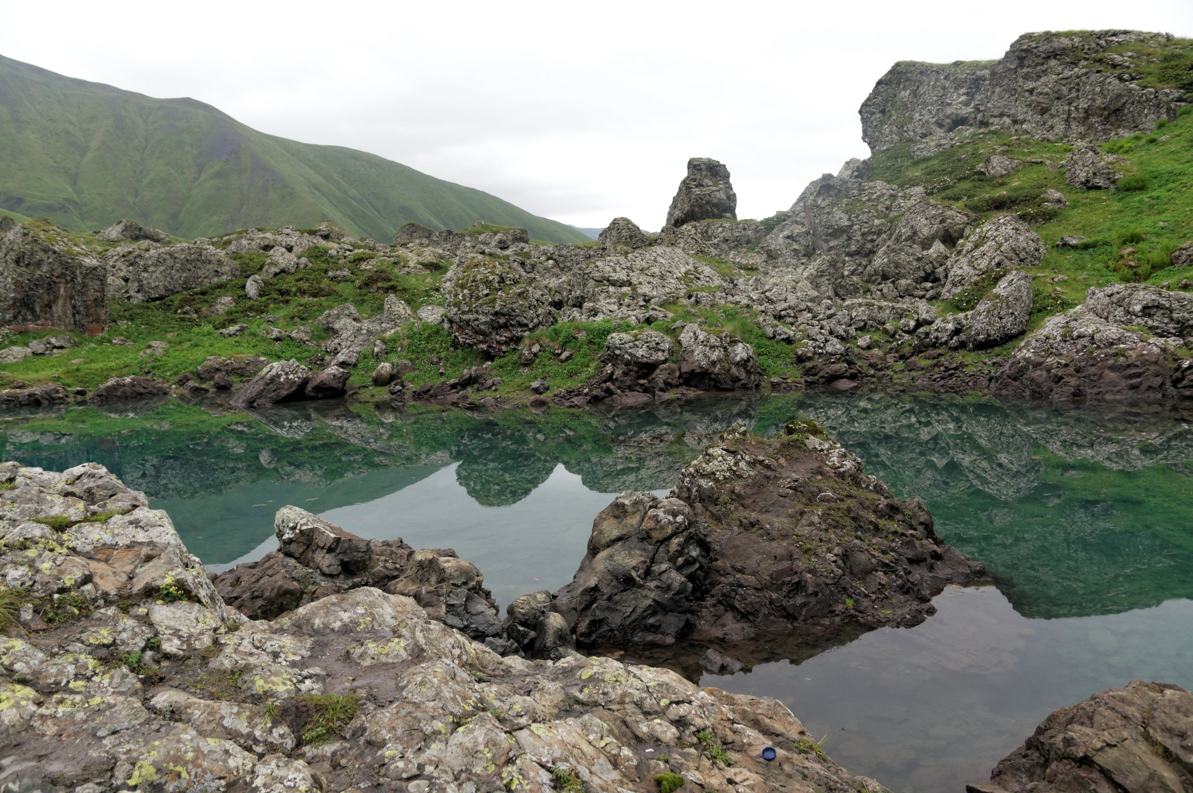
The route starts in the Ushguli community, commonly from Chazhashi, and follows the Enguri / Inguri valley upstream towards the main Caucasus ridge and Shkhara. Georgia Travel describes the walk as a 5–6 hour route from Ushguli to the glacier area, with the final section rising towards about 2,390 m. Caucasus Trekking gives a 16 km round trip with 540 m of ascent and a maximum elevation of 2,430 m. The route initially follows a broad valley track before narrowing towards the glacier foreland, with small stream crossings and moraine terrain near the endpoint. The return follows the same valley route.
Why it is essential
This is the most accessible classic glacier-view walk from Ushguli, combining one of Svaneti’s most important historic settlements with the foreland of Georgia’s highest mountain, Shkhara. It is less steep than the Koruldi Lakes route but feels more remote.
Equipment
- Hiking shoes or boots
- Waterproof layer
- Warm layer
- Water
- Food
- Sun protection
- Map/GPS
- Trekking poles if useful on the moraine and valley tracks
Hazards and notes
Georgia Travel warns of falling stones on the upper section. The glacier margin and moraine should be treated cautiously, and the route should not be extended onto the glacier without appropriate equipment and expertise. The valley is weather-sensitive and can feel exposed in poor visibility.
GPX / KML links
| Source | URL | Format | Notes |
|---|---|---|---|
| Caucasus Trekking — Shkhara Glacier | caucasus-trekking.com | GPX/KML buttons visible on page | Download source found; direct file URL unresolved. Include as a route-source link for now. |
| Georgia Travel — Ushguli to Shkhara Glacier | georgia.travel | Official route page / map reference | Used for official route verification. |
External links
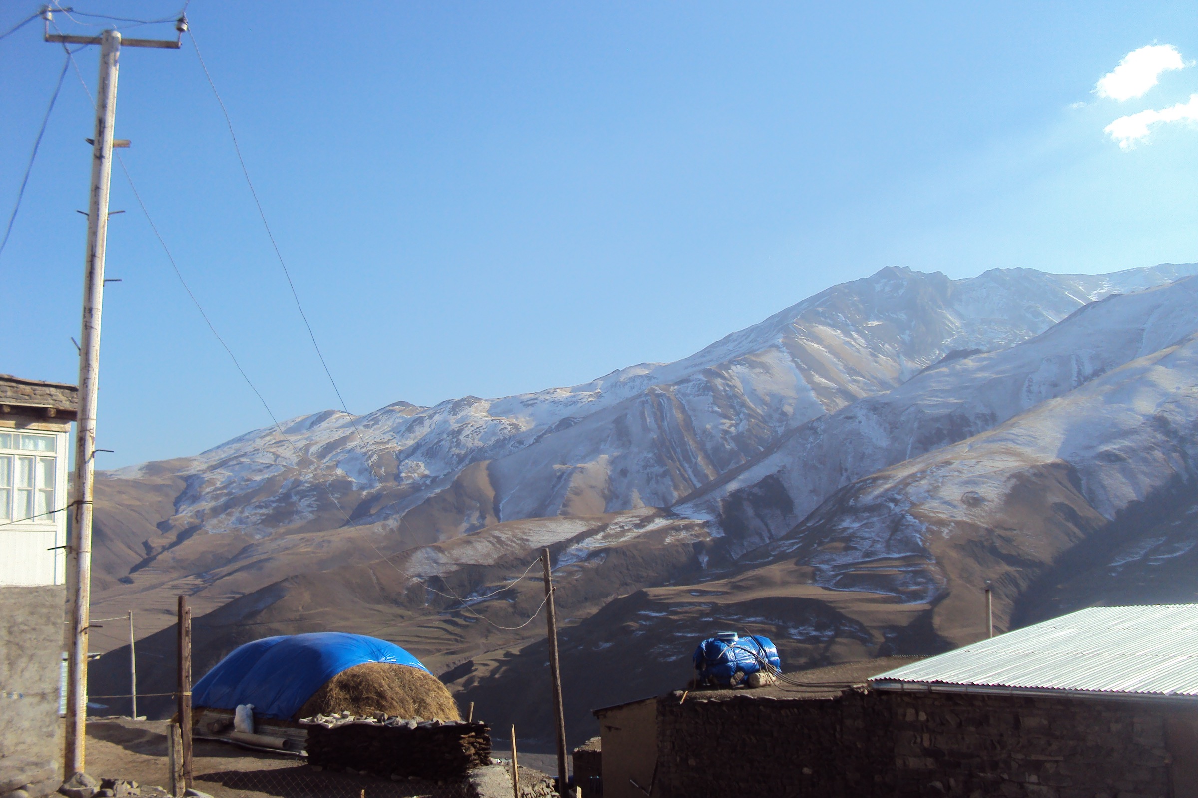
5. Khinalig to Galakhudat
Snapshot
Itinerary
The official Azerbaijan Travel route starts in Khinalig and follows a marked trail towards Galakhudat. After crossing a small river, the route climbs for about 800 m, joins the main road/track, and reaches a small pass after about 6 km. From there, Galakhudat appears near the cliffs ahead and the signed route continues to the village. The official route statistics are 8.2 km, 370 m ascent, about 350 m descent, and a maximum altitude of 2,300 m.
Why it is essential
This route represents the eastern Greater Caucasus and the high-village walking culture of northern Azerbaijan. It is shorter and less alpine than the Georgian routes above, but it is well marked, scenic, culturally distinctive, and suitable as a non-technical day hike.
Equipment
- Hiking shoes or boots
- Weatherproof layer
- Warm layer outside midsummer
- Water
- Food
- Sun protection
- Offline navigation
- Carry 1.5–2 litres of water because water sources are limited on the route
Hazards and notes
The official route notes that the trail becomes more difficult in fog, rain, or snow, and that shepherd dogs may be present from May to September. No regular public transport serves the route; Azerbaijan Travel notes that a local 4x4 or taxi from Guba is normally needed, with pickup from Galakhudat possible by arrangement. The same source states that no permit is required and that the route is not in a special protected area or border zone.
GPX / KML links
| Source | URL | Format | Notes |
|---|---|---|---|
| Azerbaijan Travel — Khinalig–Galakhudat | azerbaijan.travel | Official route page / PDF map reference | Route verified; no official GPX found in the source pass. |
| Wikiloc — Khinalig–Galakhudat trail | wikiloc.com | Route-track source | Useful secondary geometry source. |
External links
External links
| Source | URL |
|---|---|
| Caucasus Trekking — Kazbegi hike to glacier | caucasus-trekking.com |
| Caucasus Trekking — Chaukhi | caucasus-trekking.com |
| Caucasus Trekking — Koruldi Lakes | caucasus-trekking.com |
| Caucasus Trekking — Shkhara Glacier | caucasus-trekking.com |
| Georgia Travel — Trekking in Georgia | georgia.travel |
| Georgia Travel — Juta, Chaukhi, Abudelauri Lakes, Roshka | georgia.travel |
| Georgia Travel — Koruldi Lakes | georgia.travel |
| Georgia Travel — Ushguli to Shkhara Glacier | georgia.travel |
| Azerbaijan Travel — Khinalig–Galakhudat trail | azerbaijan.travel |
| Going the Whole Hogg — Juta to Roshka via Chaukhi Pass | goingthewholehogg.com |
| Wikiloc — Juta to Roshka via Chaukhi Pass | wikiloc.com |
| Wikiloc — Khinalig–Galakhudat trail | wikiloc.com |
| UK FCDO travel advice — Russia | gov.uk |